
Share this @internewscast.com
The rinse and repeat weather pattern persisted on Thursday and is set to continue through Friday and into the weekend. Thunderstorm activity was primarily concentrated along and west of I-95 in the late afternoon and evening.
Thursday night and into Friday will be mainly dry and very warm with low temperatures in the low to mid 70s.
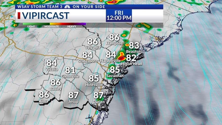
On Friday afternoon, expect hot and humid conditions accompanied by scattered showers and storms. High temperatures will range from the upper 80s to lower 90s across the region.
Rain will start to develop along the coast initially, then progress inland with the advancing sea breeze. By mid-afternoon, storms will become more frequent west of I-95, continuing into the evening.


Heat index values will be in the upper 90s at times. Showers and storms will be able to cool some locations off once they begin to form in the mid to late afternoon.
Hotter and more humid conditions are expected over the weekend along with more scattered showers and storms. High temperatures will be in the lower 90s. Heat index values will be over 100°F at times due to very high humidity levels.


Be sure to keep an eye to the sky while staying hydrated if you have any outdoor plans over the weekend.
Heat index values over 100-105° can quickly lead to heat exhaustion and heat stoke if precautions are not taken to stay cool, taking breaks and staying adequately hydrated in the summer heat.


Temperatures next week look to be even hotter than what we are expecting over the weekend. Highs Monday through Thursday will be in the low to mid 90s with heat index values over 103°F.
Rain chances will be lower than the past several days, but they do not go away all together anytime soon.