
Share this @internewscast.com
Residents across extensive areas of New South Wales are being advised to prepare for a severe thunderstorm system sweeping through the state. The storm is expected to bring sizable hailstones, strong winds, and abrupt changes in temperature.
The Bureau of Meteorology (BOM) has reported that on Friday afternoon, a warm, moist, and unstable atmosphere is meeting a surface trough, creating perfect conditions for severe storms to develop across eastern and northern parts of NSW.
Already, several regions have experienced severe storm cells. Hailstones measuring up to 3 centimeters in diameter were observed in Moorland near Taree around 3:15 p.m., while hailstones approximately 2 centimeters wide were reported in Engadine, located in Sydney’s southern area, at about 4:20 p.m.
Angus Hines from the Bureau highlighted that the primary threats posed by these thunderstorms include hailstones larger than 2 centimeters, which have the potential to damage crops, vehicles, and roofs.
Hines cautioned that the hazardous weather conditions are expected to continue into the evening, as a southerly wind change advances northward along the coast.
He further mentioned the possibility of damaging wind gusts exceeding 90 km/h, which could result in property damage, power outages, or even send your rubbish bin on an unexpected journey to a neighbor’s yard.
The Bureau said severe thunderstorms are likely to produce large hailstones and damaging winds across the Hunter, Metropolitan, Central Tablelands and parts of the Illawarra, North West Slopes and Plains, Central West Slopes and Plains, and Upper Western districts.
Areas that may be affected include Sydney, Gosford, Orange, Dubbo, Scone and Mudgee.
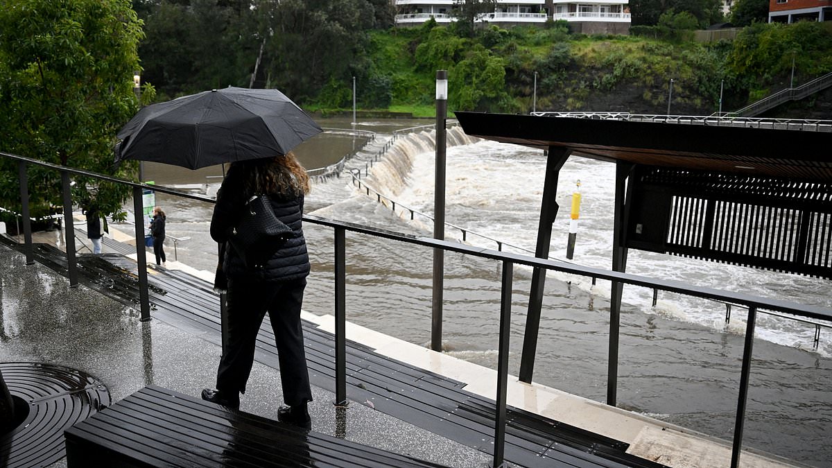
Further north, the Mid North Coast, including Taree, Port Macquarie, Kempsey, Urunga, Bellingen and Nambucca Heads, faces an even greater threat, with storms expected to bring heavy rainfall capable of triggering flash flooding.

Sydney, Wollongong, Newcastle and the Central Coast are among the areas set to be hit

Heavy rain falls and large hail are expected to sweep across the region on Friday night
The system began firing up from early afternoon, with inland regions hit first before the storms moved east towards the coast.
Sydney, Wollongong, Newcastle and the Central Coast are all in the firing line for late afternoon and early evening activity.
Temperatures across Sydney are forecast to plummet from around 30°C to the high teens as the southerly front sweeps through between 4pm and 8pm, dropping as much as 10 degrees in half an hour in some suburbs.
‘Storms around the city could tend severe, bringing large hail and damaging wind gusts anywhere in the city metro area,’ Mr Hines said.
While the storms are moving rapidly, he said residents should not be fooled into thinking they pose little risk.
‘Rain associated with the standard storms could briefly be heavy, but the storms won’t linger in place long enough to produce big rainfall accumulations before moving on to the next suburb.’
The Bureau has urged residents to take shelter, secure loose items and avoid driving through floodwaters as the dangerous weather continues to move across the state into the evening.