
CHICAGO (WLS) — The Chicago area is bracing for potentially severe weather conditions set to hit on Monday.
ABC7 Chicago is now streaming 24/7. Click here to watch
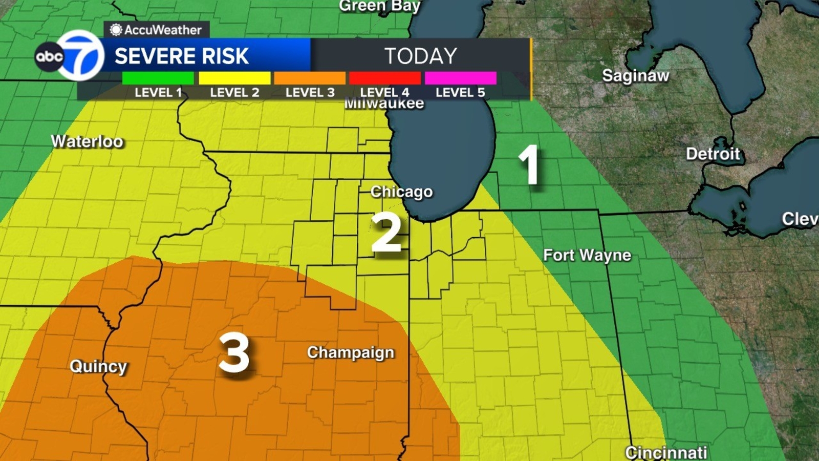
Meteorologists have placed the region under a Level 2 risk for severe storms.
Earlier on Monday, the area experienced some storm activity.
In Wheaton, emergency crews are addressing multiple incidents involving downed trees and power lines due to strong winds. These conditions have also resulted in power outages in certain areas.
The most significant threat of severe storms is anticipated between 4 and 11 p.m. According to Butler, strong winds are likely to occur from noon to 4 p.m., even without accompanying storms.
The key risks associated with these storms include strong winds, with the potential for hail and tornadoes.
There is a Ground Stop for departures to Chicago O’Hare International Airport due to thunderstorms until 7:15 p.m., the Federal Aviation Administration said. There is a 30-60% chance of extension.
There is also Ground Delay at O’Hare until about 3 a.m. Tuesday due to thunderstorms. Delays are averaging 210 minutes.
Over 120 flights have been canceled at O’Hare Monday.
There is a High Wind Warning for McHenry, Lake, DeKalb, Kane, DuPage and parts of Cook County until 4 p.m.
Wind gusts over 60 mph are possible and could result in power outages. Use caution while driving, officials said.
There is a Flood Warning for Kane and Kendall counties until 7 p.m. Wednesday.
There is a Flood Warning for McHenry County until 1 p.m. Thursday.
There is a Flood Watch until 7 p.m. Saturday for LaSalle County.
There is a Flood Warning for Lake (Illinois) and Kenosha counties until 7 a.m. Sunday.
Cook County Radar | DuPage County Radar | Will County Radar | Lake County Radar (IL) | Kane County Radar | Northwest Indiana Radar
Copyright © 2026 WLS-TV. All Rights Reserved.