
Share this @internewscast.com
Forecasting lake effect snow is a captivating yet daunting task for meteorologists.
CLEVELAND — During the late 19th century, weather scientists began observing a peculiar pattern around the Great Lakes during winter months. While cities like Buffalo, Cleveland, and Erie, Pennsylvania, were being inundated with heavy snowfalls, surrounding areas often remained clear.
These early meteorologists were the pioneers in identifying what is now known as “lake effect snow.” However, it wasn’t until the mid-20th century, with the advent of weather radar and advanced forecasting technologies, that scientists could fully understand how frigid air moving over the warmer waters of the lakes could create such concentrated and intense snowstorms.
Today, predicting lake effect snow continues to be a fascinating and intricate challenge for meteorologists.
The phenomenon begins when cold, dry air masses glide over the relatively warm waters of the Great Lakes.
As these Arctic air masses travel southward in late fall and winter, they absorb both moisture and warmth from the unfrozen lake surfaces.
This warmer, moisture-rich air then rises into the colder atmosphere above. This forms thick clouds and heavy snow once the air moves back over land.
You need three key ingredients for lake effect snow to form:
-
A cold air mass moving over a warmer lake body (typically at least a 13°F temperature difference).
-
Winds aligned in a direction that allows for a long “fetch,” or stretch of open water, where the air can absorb the most moisture.
-
A lifting mechanism, like terrain or convergence, to lift the air and release that moisture as snow.
When all three ingredients come together, the results are often incredible.
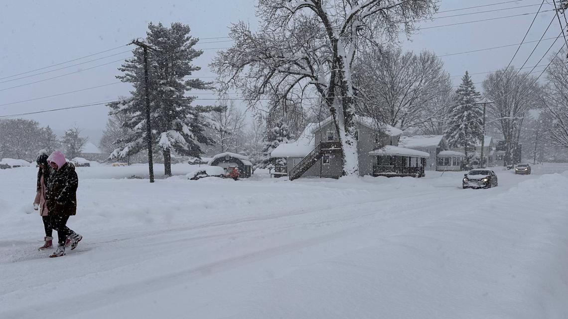
We see narrow snow bands of intense snow with rates of 1 to 2 inches per hour. This produces whiteout conditions and dangerous travel.
What makes lake effect snow so remarkable is how quickly snowfall totals can change over just a few miles. One neighborhood can see blue skies while another, just down the road, gets buried under a foot or more of snow.
Let’s look at Buffalo, New York, located on the eastern shore of Lake Erie. The city can receive more than 80 inches of snow during a typical winter, while areas just 20 miles away see an average of just 30 to 40 inches.
This extreme difference in snow amounts happens because lake effect snow bands are very narrow, often only 5 to 10 miles wide, over a small area. The orientation of the wind determines where these snow bands set up. A slight shift in wind direction can move the heaviest snow from one city block to another over time. That’s why forecasters often say, “where squalls persist.” This emphasizes the uncertainty when predicting lake effect snow events.
While the Great Lakes are the most famous breeding grounds for lake effect snow, the phenomenon does happen in other places. It occurs anywhere cold air moves over warmer water.
In Japan, cold Siberian winds crossing the Sea of Japan regularly produce massive snowfalls along Japan’s western coast. Also, areas downwind of the Great Salt Lake in Utah and the Finger Lakes in New York State experience smaller-scale versions of lake effect snow.
Even places like the Great Slave Lake in Canada and Lake Baikal in Russia can see lake effect-style snows when the conditions line up just right. The concept is the same. Cold air meets warm water and nature’s snow machine kicks into gear.
If you want to find some of the snowiest places in the world, look no further than America’s snow belts. Here are some of the annual snowfall averages from the most active lake effect regions:
-
The Tug Hill Plateau, New York (east of Lake Ontario): Often tops 200 to 300 inches of snow each winter.
-
Syracuse, New York (south of Lake Ontario): One of the snowiest cities in the U.S., with about 120 inches per year.
-
Erie, Pennsylvania (south shore of Lake Erie): Averages 100 to 120 inches annually.
-
Buffalo, New York (east of Lake Erie): Typically receives 85 to 100 inches a year, but in extreme events, totals can exceed 200 inches.
-
South Bend, Indiana (south of Lake Michigan): Downwind of Lake Michigan, averages about 60 to 80 inches each winter.
Lake effect snow is an amazing example of how nature’s systems interact in complex and interesting ways. It can turn a calm winter morning into a whiteout within minutes and dump several feet of snow in a day. This is all thanks to the powerful interaction of cold air and warmer, open waters.
Whether you’re in the snowbelt of New York State or along the southern or eastern shores of Lake Michigan, lake effect snow is a reminder of just how dynamic and unpredictable winter weather can be.
Check with your trusted team of meteorologists for your local forecasts!