
Share this @internewscast.com

MIAMI (AP) — Hurricane Lorena is losing strength and is expected to downgrade to a tropical storm by Thursday, according to forecasters. Despite this, there continue to be concerns about potentially dangerous flash floods and mudslides along parts of Mexico’s western coastline.
The U.S. National Hurricane Center has also put certain areas in the southwest United States on alert. Heavy rains from Lorena could result in isolated flash flooding in these regions.
Currently, Lorena remains a Category 1 hurricane with top sustained winds of 75 mph (121 kph). The storm is situated approximately 110 miles (177 kilometers) west-southwest of Cabo San Lazaro, Mexico, moving northwest at a speed of 8 mph (13 kph).
Rainfall could total up to 15 inches (38 centimeters) in some areas, particularly in the Mexican states of Baja California Sur, Baja California, and Sonora, increasing the threat of flash floods and mudslides into Friday.
Forecasters urged people on the Baja California peninsula and in northwestern Mexico to monitor the storm’s progress.
In Arizona and New Mexico, the hurricane center predicted heavy rain reaching up to 5 inches (13 centimeters) and issued warnings for potential flash flooding in isolated areas continuing into Saturday.
There is uncertainty about Lorena’s path, as it may either weaken before hitting Baja California Sur or continue along Mexico’s western coastline, eventually fading over the ocean.
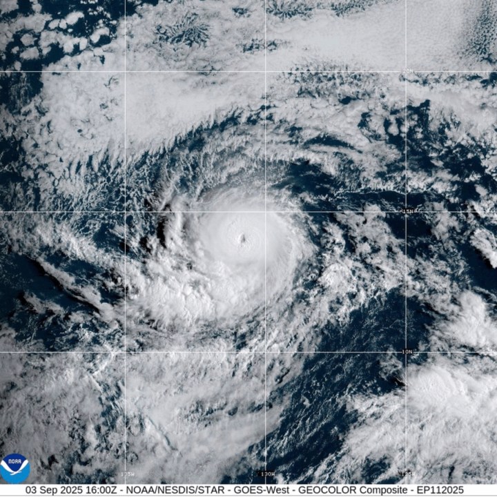
Meanwhile, Hurricane Kiko was still a Category 4 storm on the Saffir-Simpson Hurricane Wind Scale with maximum sustained winds near 145 mph (233 kph), according to the hurricane center. It was centered about 1,520 miles (2,446 kilometers) east of Hilo, Hawaii, and was traveling west at 8 mph (13 kph).
Forecasters said that Kiko wasn’t expected to strengthen in the next day or so, and should start gradually weakening Friday and into the weekend.
There were no watches or warnings associated with Kiko and no hazards affecting land.