
Share this @internewscast.com

Northern New Jersey and the southern Hudson Valley may experience freezing rain and light ice accumulation on Sunday night, according to meteorologists.
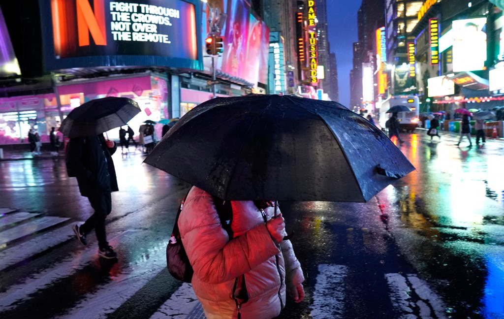
This new threat of winter weather comes on the heels of a snowstorm that blanketed the area with several inches of snow from Friday night into Saturday morning. However, New York City temperatures are expected to remain warm enough on Sunday to prevent similar wintry conditions.
“Temperatures along the immediate coast, including the NYC metro area, are expected to rise just above freezing,” National Weather Service forecasters indicated on Sunday. “As rain develops after dark, it is expected to fall as rain in these areas initially.”
In contrast, areas to the north and northwest of the city could see temperatures cold enough to result in freezing rain and minor ice accumulation, according to the National Weather Service. The greatest risk of ice is anticipated in Orange and Putnam counties in New York, Warren and Morris counties in New Jersey, as well as Fairfield and New Haven counties in Connecticut.
The forecasted precipitation on Sunday night is part of a significant temperature fluctuation expected in the tristate area over the next 48 hours. Temperatures are predicted to gradually rise throughout Sunday and into Monday afternoon, potentially reaching nearly 50 degrees in Central Park.
However, this warm spell is expected to be brief, with temperatures forecasted to drop back into the low 30s by Monday evening, continuing overnight into Tuesday.
Other areas of the nation were also dealing with winter weather on Sunday, as a snowstorm swept across the Great Plains, the Midwest and the Great Lakes. The storm brought blizzard conditions to some areas and was predicted to dump as much as two feet of snow in northern Michigan.