Share this @internewscast.com
A leading doctor has revealed how bad seed oils actually are for you and the food item that poses an even greater risk.
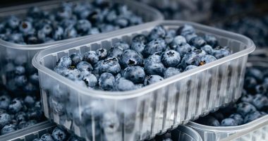
Seed oils, including sunflower, canola, corn and grapeseed have recently found themselves at the center of a raging health debate across the world.
Numerous experts believe the oils increase inflammation, which in turn is linked to conditions such as type 2 diabetes, heart disease, depression and Alzheimer’s.
During his short-lived presidential campaign, Health secretary Robert F. Kennedy Jr even waged war on seed oils, claiming Americans were being ‘unknowingly poisoned’ by them and asked citizens to use animal fat instead.
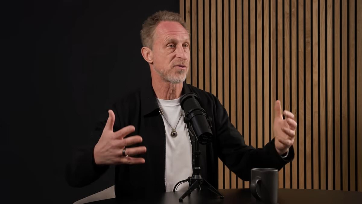
However, Dr Mark Hyman, a practicing family physician has revealed that cooking with seed oils is actually safer than butter or bacon fat.
While on a recent episode of Huberman Lab podcast with Dr Andrew Huberman, he noted that data on how harmful seed oils are is ‘mixed’ and not clear.
He said: ‘The theory behind seed oils is that it’s Omega 6 rich. It’s imbalanced with Omega 3. It causes inflammation. The way they’re produced and grown is problematic. They’re usually GMO crops.
‘Would I want to eat an industrial food product? Probably not. Do we know for sure that it’s a problem? I think the data is mixed.’

Dr Mark Hyman, a practicing family physician has revealed that a cooking with seed oils is actually much safer than butter and bacon fat
Furthermore, the physician added that eating saturated fats in the form of butter and refined sugars such as muffins and bagels is much more harmful to human health.
‘Don’t eat butter with a bagel, put it on your broccoli because the saturated fat-refined starch combo is what’s killing us,’ Dr Hyman noted.
To stay healthy, Dr Hyman revealed that people should eat whole-food fats including avocados, coconut, fish, olive oil, nuts and seeds – all major components of the Mediterranean diet.
In March 2025, a 30-year Harvard University study of over 200,000 adults found people who choose to cook with seed oils over butter were less likely to die of any cause, including cancer and heart disease.
Meanwhile, people who used butter had a higher risk of dying from cancer or any cause.
The researchers were ‘surprised’ to find swapping less than a tablespoon of butter for the same amount of oil lowered the overall risk of death by 17 percent, which the team called ‘a pretty huge effect on health.’
They suggested this could be because seed oils are lower than butter in saturated fat, which has been linked to an increased risk of heart attack, stroke, and some forms of cancer.
Study author Dr Daniel Wang, assistant professor in the Department of Nutrition at the Harvard TH Chan School of Public Health, said: ‘People might want to consider that a simple dietary swap — replacing butter with soybean or olive oil — can lead to significant long-term health benefits.
‘From a public health perspective, this is a substantial number of deaths from cancer or from other chronic diseases that could be prevented.’

Seed oils, including sunflower, canola, corn and grapeseed have recently found themselves at the center of a raging health debate across the world
Cardiovascular disease and cancer are America’s two biggest killers, taking 900,000 and 600,000 lives every year, respectively.
The average American consumes almost 100 pounds of seed oils per year, according to some estimates, which is up about 1,000-fold compared to the 1950s. Seed oils became popular in the United States after WW2 thanks to agricultural advances.
Meanwhile, the latest data from the US Department of Agriculture (USDA) found most Americans ate 6.5 pounds of butter in 2023, which could signal a growing movement away from butter and toward seed oils.
But despite clear proof, some of America’s biggest restaurant chains are signing on with the RFK Jr’s mission to get rid of seed oils and begun changing how they cook your favorite fast food meals.
Earlier this year, burger chain Steak ‘n Shake announced it was officially switching from vegetable oil to beef tallow for cooking fries in all of their restaurants nationwide.

People who used butter had a higher risk of dying from cancer or any cause in one study
Popeyes, which uses oil to fry both their chicken and fries, has also switched to beef tallow.
Outback Steakhouse noted that they have been preparing wings, fried mushrooms, fried shrimp, coconut shrimp, and their famous Bloomin’ Onion in beef tallow since 1988 and have never stopped.
Meanwhile, Buffalo Wild Wings reportedly now uses beef shortening made from beef fat to cook their French fries, onion rings, mozzarella sticks, chicken tenders, and wings.
As for salad chain Sweetgreen, they’ve switched from seed oils to extra virgin olive oil and avocado oil for roasting vegetables and proteins.
Those changes could go even further soon, as RFK Jr. has also met with the CEOs of major food companies, including General Mills, Kellogg’s, Kraft Heinz and Pepsi.