
Share this @internewscast.com

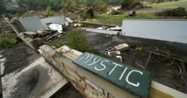
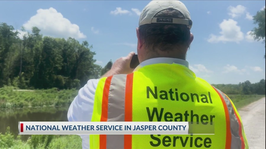
The National Weather Service team stationed in Charleston has confirmed that a weak, short-lived tornado briefly made landfall in the Savannah National Wildlife Refuge located in the southern part of Jasper County, South Carolina.
was able to walk alongside them as this was determined. Before the confirmation, they had to do a bit of groundwork.
“Today, we are conducting what is known as a ground survey or storm damage survey,” explained Ron Morales, the Warning Coordination Meteorologist. “These surveys are typically conducted for storms that are suspected to have involved tornadoes…”
To assist with their investigation, they utilized a drone—being one of the few offices that incorporates such technology. This tool enabled them to circumvent obstacles like marsh waters and other hazardous areas that are not accessible on foot.
“We knew coming out here it would be difficult because there’s not a lot out here,” Morales said. “There are trees, but there’s also a lot of very low, scrubby trees and grass and bushes that are very difficult for even a stronger tornado to actually damage.”
He continued, “The two most important things are when did it begin and end and also how strong was it. That’s an EF or enhanced Fujita scale that goes from zero to five…zero being the weakest, five being the strongest.”
After reviewing photos and damages, they determined the tornado was an EF-0 with 65 mph wind.