
Share this @internewscast.com

Burnes has emphasized the importance of early preparation and heightened awareness due to escalating risks.
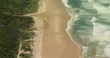
“We urge individuals to stay alert, especially when camping near creeks and rivers. Ensure you have the right gear, as some regions may experience rain for several days,” he advised.
“If you notice water levels rising, prioritize moving to elevated areas without delay,” he added.
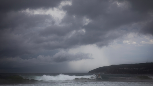
Meanwhile, a sprawling low-pressure trough stretches from former Tropical Cyclone Koji in the north, reaching down to central Victoria.
Pippard explained, “Today, this trough will converge with an upper trough and a cold pool.”
He continued, “As the system progresses westward, it is expected to trigger scattered to widespread thunderstorms by Thursday and form a coastal trough along the New South Wales coast.”
“The moisture feed from the tropics and the Tasman Sea will deliver heavy rainfall along the NSW coast, heaviest in the far south, with a growing powerful swell to impact the coast from Friday to next Tuesday.”
Residents in parts of Victoria can also expect potential storms and showers tomorrow as the low pressure trough moves over the country’s south-east, drawing moisture from the Coral Sea in Queensland.
“That moisture will wrap into NSW and south-eastern Victoria, with potentially some rain for Melbourne,” Weatherzone meteorologist Felix Levesque predicted yesterday.
“The most likely total is in the 1-5 mm range with heavier stuff further east and south into Bass Strait.
“But potentially, Melbourne could see 10-20 mm depending on the depth of the moisture feed.”