
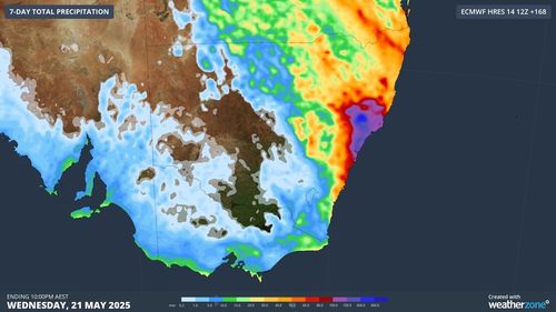
The rain experienced in Queensland and NSW today is expected to continue into tomorrow and Sunday.
In Queensland, wet weather is predicted to subside from late Saturday morning with a cool south-westerly front ushering in cooler winds in the north-eastern regions.
The low-pressure system will create damaging winds and hazardous surf.
“It could generate really dangerous conditions, the winds could produce downed trees.”
Meanwhile, Tasmania, Victoria, South Australia, and the lower east coast are preparing for what could be the “coldest weekend” in the year to date, due to an approaching cold front.
“We’ll see scattered showers and locally gusty winds developing later today and into tomorrow as the front moves through,” Bradbury said.
The cold front could bring hail to Victoria and severe frost to parts of Tasmania.
Daily temperatures are forecast to drop two to five degrees below the May average on Saturday and Sunday.
Nighttime temperatures will plummet to five to zero degrees, while daytime temps will struggle to climb over 16 degrees.
“The chill is expected to diminish starting tomorrow and continue easing into Sunday, as a substantial high-pressure system swiftly follows the front, stabilizing the weather,” Bradbury mentioned.