
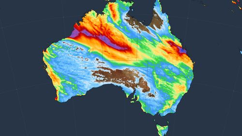
Winds of more than 120km/h were recorded as a cold front swept through southern Australia yesterday, with millions still in the firing line today.
Dean Narramore, a senior meteorologist with the Bureau of Meteorology, noted that South Australia and Victoria experienced widespread “strong to damaging” winds, which even affected parts of southern NSW.
Victoria’s Mount Hotham recorded gusts of 126km/h, while in NSW, Thredbo experienced winds reaching 115km/h. Victoria’s Mount Buller and Falls Creek saw winds as strong as 110km/h.
Metropolitan Melbourne recorded gusts of 60km/h to 80km/h.
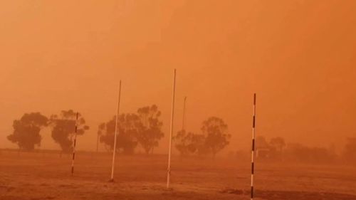
The winds also raised significant dust storms in South Australia and Victoria.
Rain totals of 30mm to 50mm were recorded in Mount Lofty and the Adelaide Hills in South Australia.
Narramore said for some parts of the drought-hit state, yesterday would have been the wettest day since winter or early spring last year.
Falls were milder in Victoria, reaching 5mm to 15mm.
Despite several wind and high tide warnings in place for South Australia and Victoria, conditions are anticipated to become milder and less widespread, with improvements expected by the afternoon.

Locals return to clean out homes, shops all but swallowed by floods
NSW, however, will face widespread damaging winds today, including the flood-hit Mid North Coast and northern Hunter regions, as well as the Northern Tablelands, Illawarra, Blue Mountains, and South Coast.
Gusts up to and possibly exceeding 90km/h are expected.
Additionally, falls of 20mm to 40mm of rain have already been recorded for the already-drenched Hunter and northern NSW, but that will clear up by the afternoon.
Conditions are expected to ease through tonight to tomorrow.