
Passing showers will continue tonight into Sunday. Winds will remain breezy, but not overly gusty except for the immediate coast.
Sunday will bring occasional scattered showers and isolated storms, similar to Saturday’s weather. The indirect impact from Tropical Storm Chantal will decrease as the day progresses.
Tropical Storm Chantal
Tropical Storm Chantal continues to track towards a South Carolina landfall.
The increase in forward speed will lead to the landfall taking place between Charleston and Myrtle Beach during the very early hours of Sunday.
A majority of the deep convection remains displaced east and northeast of the center which will keep direct impacts north of Charleston.
These effects will stay minor and indirect. Showers will pass through Sunday evening, with winds gusting between 25-35 mph near the coast.
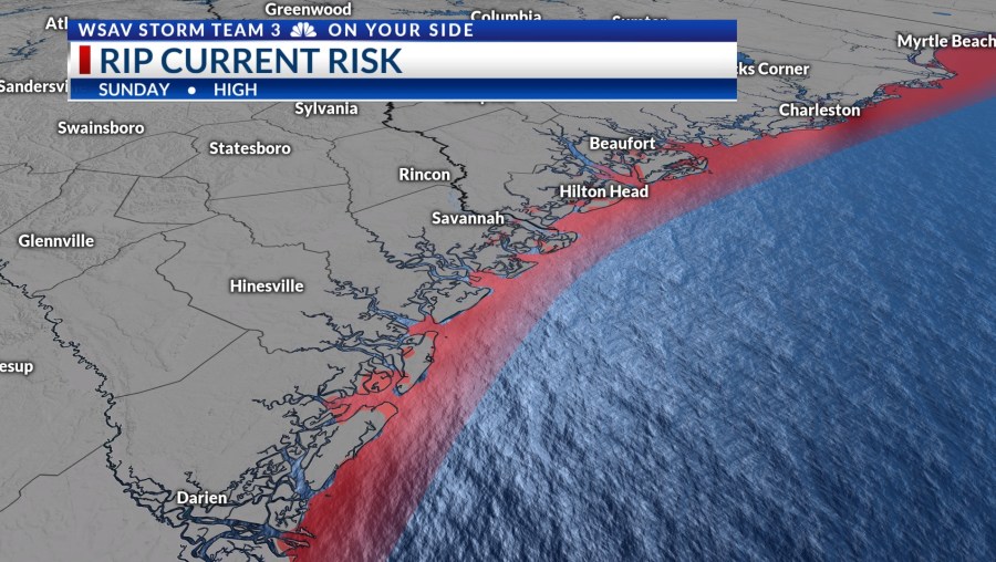
The primary concern remains beach hazards. High surf and an elevated risk of rip currents are predicted to persist through Sunday, potentially extending into early next week.


Looking Ahead
The new week will feature more typical weather returning. High pressure will bring very hot temperatures and oppressive humidity.
Daily afternoon storm chances are expected Monday through at least next Friday & Saturday.