
ORLANDO, Fla. – Florida’s summer weather is in full swing, bringing intense heat, humidity, and those characteristic daily storms as we head into the weekend.
A broad area of high pressure is playing a big role in keeping our weather pattern steady.
[VIDEO BELOW: What’s next for the tropics?]
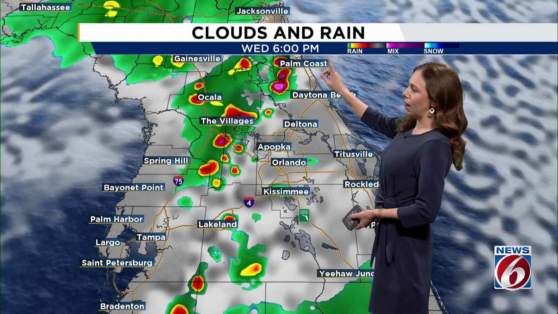
Expect another typical July day on Wednesday as we stay hot and humid with storms around.
Scattered storms are expected in the afternoons and early evenings, predominantly impacting inland areas with a 50-60% chance of storms, while coastal regions will see slightly lower odds at 30-50%. Some of these stronger storms might deliver brief gusts of wind reaching up to 45 mph, abundant lightning, and heavy rain because of their sluggish pace.
The heat index in the Orlando area might soar up to 105 degrees, and could reach 109 in Lakeland. It’s important to stay hydrated and take frequent breaks in shaded areas if you find yourself outside.
Looking ahead
Not much change is expected in the big-picture pattern.
An easterly wave in the Atlantic looks to get redirected north, meaning no major impacts locally.
The upper-level ridge will stay firmly in place over us, and this consistent weather feature means sea breezes will keep developing each day, helping to trigger afternoon storms.
Weekend outlook
Expect quick heating under sunny skies, pushing heat index values up to 105 degrees, with storm coverage increasing after 2 p.m. and lingering through sundown.
Copyright 2025 by WKMG ClickOrlando – All rights reserved.