
Following the devastating floods that hit south central Texas on July Fourth, resulting in 119 casualties and almost 200 missing persons, NASA deployed two aircraft to assist with local recovery and search and rescue missions.
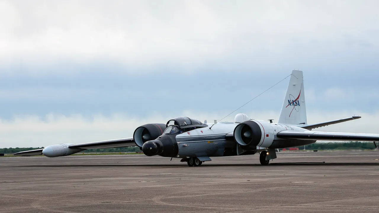
On Tuesday, NASA’s WB-57 aircraft, known for flying at high altitudes, departed from Ellington Field Joint Reserve Base in Houston. The aircraft is equipped with the DyNAMITE (Day/Night Airborne Motion Imager for Terrestrial Environments) sensor for conducting aerial surveys.
This sensor captures high-resolution images of the Guadalupe River and adjacent areas, potentially speeding up emergency response efforts.
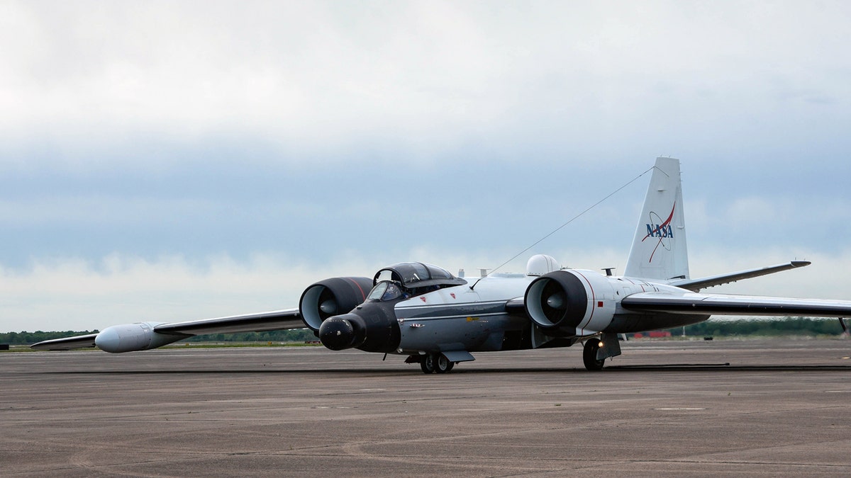
A NASA WB-57 plane will be assessing flood damage and aiding with recovery efforts after catastrophic flooding in Texas. (Raquel Natalicchio/Houston Chronicle via Getty Images)
The agency also sent its Uninhabited Aerial Vehicle Synthetic Aperture Radar (UAVSAR), aboard a Gulfstream III, from NASA’s Armstrong Flight Research Center in Edwards, California, on Wednesday to collect observations over the Guadalupe, San Gabriel and Colorado river basins.
UAVSAR, which can spot water through vegetation, will be collecting data through the end of the week.
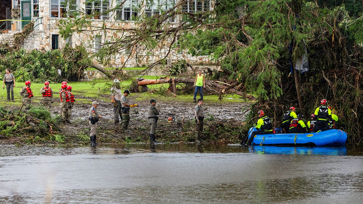
Workers dig through debris looking for any survivors or remains of people swept up in the flash flooding at Camp Mystic in Hunt, Texas. (Jim Vondruska/Getty Images)
“The team’s goal is to characterize the extent of flooding to help with understanding the amount of damage within communities,” according to the statement.
The disasters program will create maps to analyze the severity of flooding and damage to buildings and infrastructure, which will be shared on the NASA Disasters Mapping Portal as they become available.