
SAVANNAH, Ga. () — Monday afternoon was a stormy one in the Coastal Empire and Lowcountry.
We received multiple severe thunderstorm warnings, but fortunately, the damage was minimal. A few trees fell in Candler County, and wind gusts reached up to 50 mph at the Savannah-Hilton Head International Airport.
A somewhat quieter weather pattern is expected over the next couple of days. However, conditions are predicted to become more unstable later this week.
A LOOK AHEAD
Slightly drier air will move into the region for Tuesday and Wednesday. This will lower our rain and thunderstorm chances.
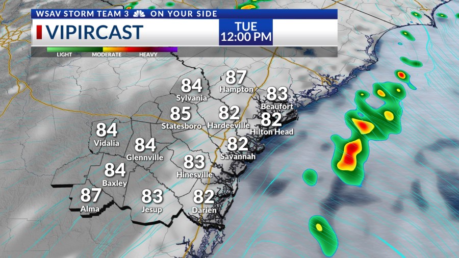
A few isolated shower or storms are possible both days. Some storms that develop may become strong.
However, organized severe weather is not expected right now.


Temperatures will make it into the lower 90s. Humidity levels will remain high enough for us to have heat index values in the triple digits.
The reprieve from high rain chances will only be short lived. Conditions will again become unsettled late in the week and for the weekend.
Scattered showers and storms are likely Thursday through Monday. Afternoon highs will be above normal in the low to mid 90s.


THE TROPICS
The National Hurricane Center is keeping an eye on a broad area of low pressure forming just off the east coast of Florida, which has the potential to develop into a tropical depression or tropical storm.
There is a medium risk (40%) of this developing into something tropical in the northern Gulf later this week.
This system is forecast to cross over the Florida peninsula on Tuesday. Strong and severe storms along with heavy rain is expected for Florida.
The northern Gulf coast should monitor the weather situation over the coming days. There is no threat to the Coastal Empire and Lowcountry at this time.
The next name on the 2025 season list is Dexter.


