
Hurricane Humberto intensified to a Category 4 hurricane on Friday and is forecasted to strengthen even more, meteorologists stated, although it is anticipated to remain out at sea, far from the U.S. East Coast.
The storm, one of two weather patterns in the Atlantic, had attained maximum sustained winds of 145 mph around 11 p.m., according to an update from the National Hurricane Center.
No coastal watches or warnings were issued late Friday. The projected path indicates a northwest, then north and northeast trajectory, moving between the U.S. East Coast and Bermuda, as outlined by the hurricane center.
A second disturbance is expected to strengthen to a tropical storm and could affect the U.S.
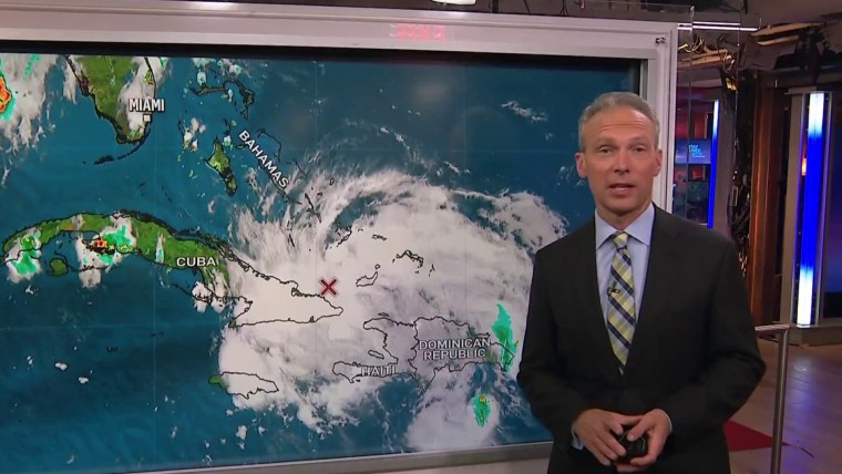
Potential Tropical Cyclone 9 was located northwest of Cuba late Friday and was projected to evolve into a tropical storm over the weekend, the hurricane center reported.
“The system is projected to be at or near hurricane strength as it nears the southeast U.S. coast early next week, posing a risk of storm surge and wind impacts,” the center mentioned in a forecast discussion late Friday.
The agency stated that a tropical storm warning was active for the Central Bahamas, while a tropical storm watch was implemented for sections of the northwest Bahamas as of Friday.
Maximum sustained winds for that storm were 35 mph Friday night, it said. A tropical storm has sustained winds of 39 to 73 mph.
The disturbance could bring up to a foot of rain for eastern Cuba and 4 to 8 inches of rain to the Bahamas.
It is forecast to move north next to Florida’s Atlantic coast and toward South Carolina by Monday and Tuesday, according to the hurricane center’s map of its possible track.
“There is significantly more uncertainty in the track forecast after day 3, but at the very least it appears that the system will slow down considerably and perhaps even stall near the coast of South Carolina,” the agency said in the forecast discussion.