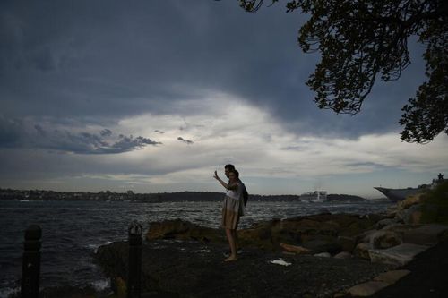

Residents in Queensland’s eastern and south-eastern areas should brace for potential severe thunderstorms, which may bring strong winds and significant hail.
Late afternoon could see scattered showers and thunderstorms targeting the coastline south-east of the Sunshine Coast.
Despite the storm threats, the Sunshine Coast might still experience temperatures climbing up to 29 degrees.
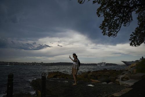
This weather pattern is linked to a trough currently advancing through the state’s south-east, expected to clear the coast by Sunday.
As this system progresses, thunderstorms might impact coastal zones stretching from K’gari to Moreton Bay Island as the conditions shift offshore.
Additionally, isolated thunderstorms could make their presence felt in areas like Wide Bay-Burnett, the Darling Downs, and the eastern part of Maranoa.
No weather warnings have been issued.