
ORLANDO, Fla. – Residents of east Central Florida have been basking in a spell of warm weather, but those enjoying the sunshine should brace themselves for a shift toward cooler temperatures this week.
Sunday
A weak frontal system currently hovering over the Southeast is expected to gradually move southward, making its way into North Florida before creeping into the northern parts of Central Florida by late afternoon. As this front advances, expect an increase in high cloud cover.
While the majority of the day will remain dry, the interaction between a developing sea breeze and additional moisture could trigger a few isolated showers or light sprinkles, particularly in areas northeast of Orlando where the front will be positioned. However, the likelihood of rain remains minimal at around 20%. Temperatures are projected to peak in the mid-80s, with overnight lows dropping into the 60s.
Monday and Tuesday
Monday and Tuesday
Conditions will remain similar as we are expecting another few warm and mostly-dry days. Highs both days remain in the low 80s with lows in the 60s with a chance of overnight patchy fog.
Late week-weekend
From Wednesday through the weekend, the weather pattern gets busier.
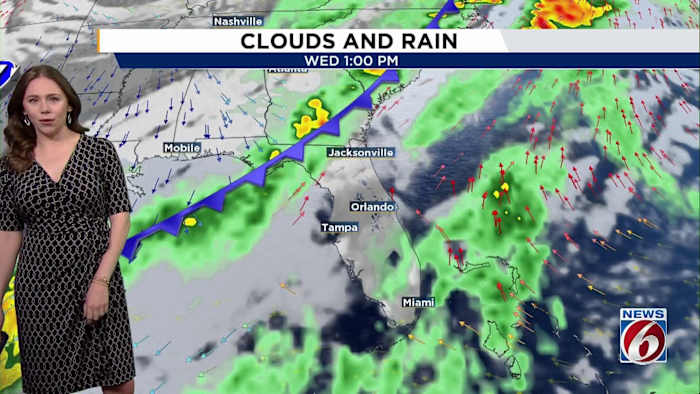
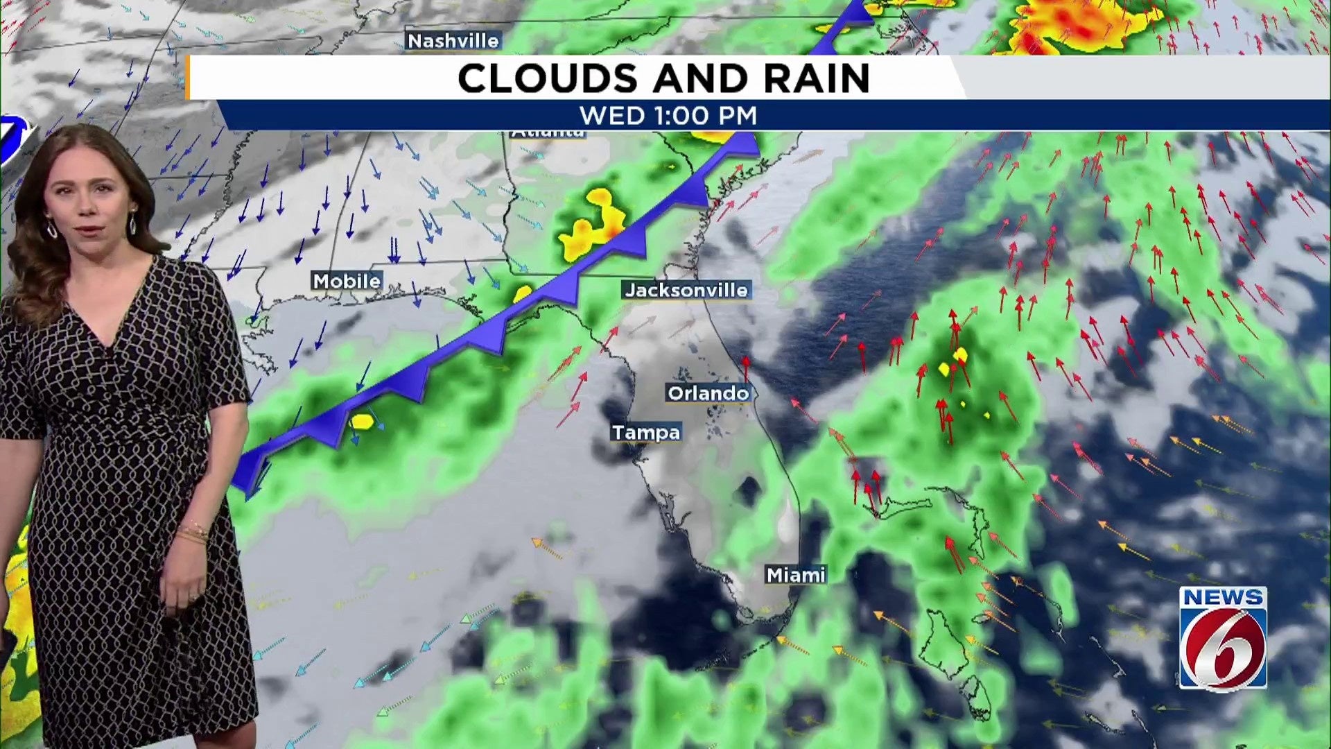
A stronger cold front will begin to pass through Central Florida late Wednesday night into early Thanksgiving, bringing a low chance of rain (20-30%).
Once it pushes through, drier air filters in and shuts down rain chances into Friday. But this cooldown won’t last long as high pressure builds back quickly by early next week.
Temperatures will warm into the low to mid 80s on Wednesday ahead of the front, but your Thanksgiving forecast looks noticeably cooler.
Highs on Thursday drop into the low to mid 70s near and north of Orlando, with upper 70s to near 80 farther south.
Northerly winds on Friday will cool things even more, with highs ranging from the upper 60s along Volusia County to the low and mid 70s southward.
Lows Thursday and Friday nights will fall into the 50s to low 60s, and some spots northwest of I-4 could dip into the upper 40s early Friday morning.
As the onshore breeze strengthens next weekend, temperatures will gradually tick upward again, with highs returning to the upper 70s.
[6 THINGS TO DO: Nov. 22-23]
Copyright 2025 by WKMG ClickOrlando – All rights reserved.