
ORLANDO, Fla. – Central Florida is bracing for a wet and stormy stretch as the region remains under the influence of a deep tropical moisture system expected to linger through the weekend.
Residents can anticipate scattered to widespread showers and storms each afternoon and evening. Rainfall could accumulate to an additional 2 to 3 inches by Sunday, with certain areas potentially experiencing over 5 inches if storms repeatedly hit the same spots.
Though the showers are a welcome relief for drought conditions, they bring the risk of localized flooding and water accumulation on roads, especially where heavy rains occur in quick succession.
Friday Forecast
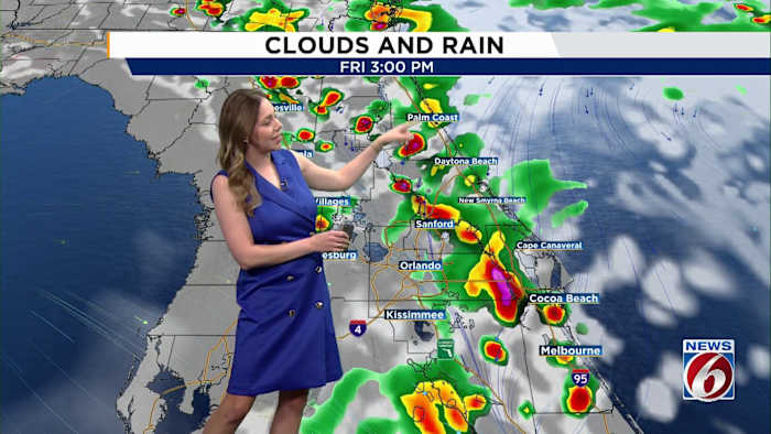
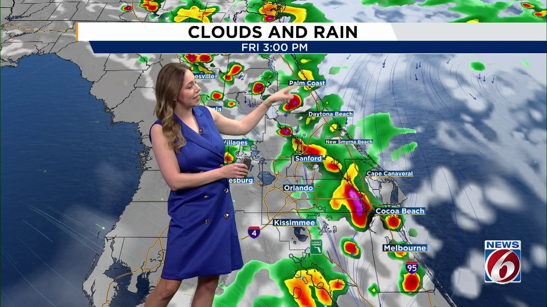
On Friday, west to northwest winds will maintain the sea breeze near the coast, concentrating the highest likelihood of storms—about 60-70%—along the eastern half of the region throughout the afternoon and evening.
These storms may come with frequent lightning, strong winds, and heavy downpours, posing potential challenges for anyone caught in their path.
Before the rain and storms develop, temperatures will have a chance to climb into the upper 80s and low 90s with heat index values near 100 degrees.
WEEKEND OUTLOOK
The unsettled pattern continues Saturday and Sunday with rain chances staying high each day. Storms will once again develop during the afternoon before pushing offshore during the evening.
Forecast models continue to show a front approaching Florida early next week that may stall near Central Florida, keeping daily rain and storm chances elevated into next week.