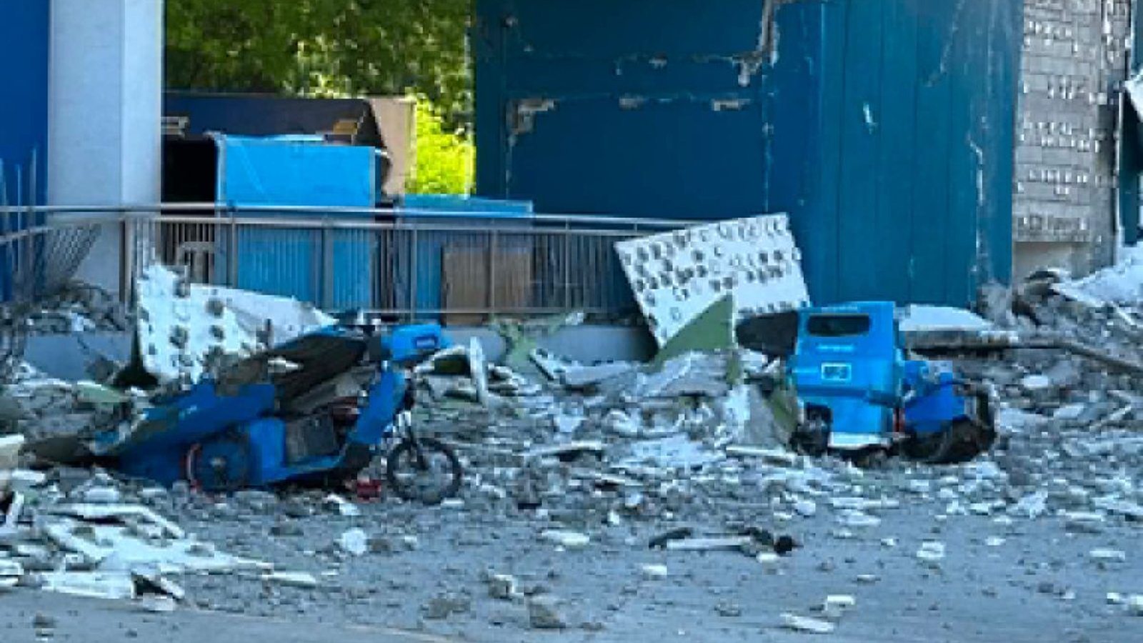

The southern Philippines was rocked by a powerful earthquake measuring 7.8 in magnitude early Monday, prompting tsunami warnings for certain coastal regions.
Residents experienced power outages and were advised to seek higher ground as a precaution. Initial reports did not provide details on any damage or casualties.
The earthquake’s epicenter was located approximately 8 miles southwest of General Santos City on Mindanao Island, with a depth of 6.2 miles, according to data from the Philippine Institute of Volcanology and Seismology. The tremor occurred at 7:37 a.m. local time.
The Pacific Tsunami Warning Center noted that tsunami waves as high as 10 feet could potentially impact some parts of the Philippines’ coastline, while waves reaching up to 3 feet might affect regions in Indonesia and Malaysia.
Teresito Bacolcol, the head of the Philippine Institute, urged coastal residents to move to higher ground or further inland to ensure their safety.
The potential for smaller tsunami waves extended to Taiwan, Japan, Guam, Papua New Guinea, and various island nations and territories in the western Pacific. However, there was no threat anticipated for Hawaii or the mainland United States, as per the PTWC’s assessment.
Residents felt the earthquake tremors in Indonesia’s North Sulawesi and North Maluku provinces.
Aftershocks up to 6.1 magnitude followed, the U.S. Geological Survey said. It measured the original quake at 34 miles deep. Variations in measurements by different agencies are common in the immediate aftermath of an earthquake.
The Philippines, one of the world’s most disaster-prone countries, is often hit by earthquakes and volcanic eruptions due to its location on the Pacific “Ring of Fire,” an arc of seismic faults around the ocean. The archipelago is also lashed by about 20 typhoons and tropical storms each year.
Copyright © 2026 by The Associated Press. All Rights Reserved.


