
ORLANDO, Fla. – Central Florida will see another round of showers and thunderstorms Tuesday before a noticeable change arrives Wednesday, bringing drier air, stronger winds and rougher surf.
Deep moisture will fuel storm development Tuesday, with rain chances rising to roughly 50% to 60% inland and west of I-95 after noon as the sea breeze moves westward.
Afternoon temperatures will climb into the upper 80s and lower 90s, while heat index readings reach between 100 and 107 degrees.
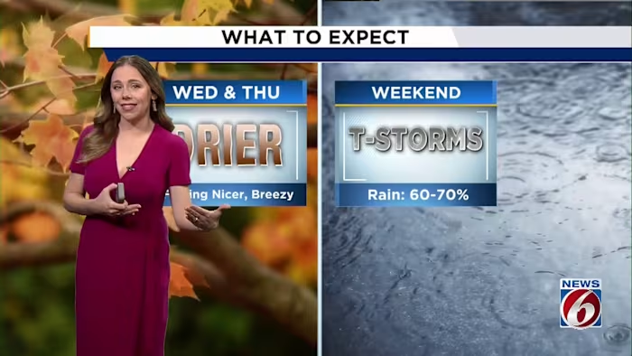
Wednesday & Thursday
A drier air mass will settle over Central Florida on Wednesday.
As a result, rain chances will drop across much of the region, though a few coastal showers may still move inland.
Thursday may bring a similar setup, with the drier air possibly holding on longer across northern areas.
Temperatures should remain close to average, with highs ranging from the upper 80s to around 90 degrees.
Coastal Hazards
Winds, however, will become noticeably stronger.
East-northeast winds are expected to increase to 15 to 20 mph or higher Wednesday, with gusts potentially reaching 25 to 30 mph.
The stronger winds will produce rough surf, hazardous boating conditions and a high risk of rip currents. That elevated rip current risk is expected to persist Thursday.
Weekend
The unsettled weather pattern is expected to return late in the week as moisture builds again, pushing rain chances to 60%–70% across the area from Friday through Monday.
Seasonally warm conditions will continue, with highs in the upper 80s to near 90 degrees.

The News 6 Weather team keeps you informed about the day’s weather.