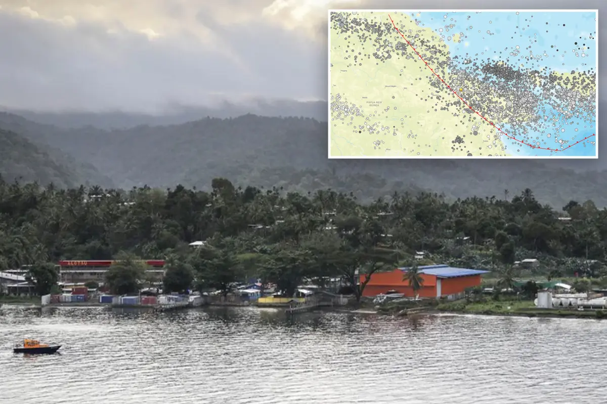

A magnitude 6.4 earthquake struck Papua New Guinea, delivering another powerful jolt to the seismically active Pacific Ring of Fire.
The earthquake hit at 9:17 a.m. UTC and was felt across the island nation.
According to the US Geological Survey (USGS), the quake occurred roughly 64 miles deep and about 30 miles from Kainantu.
The USGS said buildings in the affected area range from vulnerable structures to those designed to withstand earthquakes.
Earthquakes in the region have recently triggered secondary hazards, including landslides and liquefaction.
The agency located the quake along the Australia-Pacific plate boundary, a roughly 2,500-mile zone extending from the Sunda (Java) trench in the west to the Solomon Islands.
Since 1900, Papua New Guinea has recorded 13 earthquakes measuring magnitude 7.5 or higher.
A magnitude 8.1 earthquake struck in April 2007, generating a tsunami that killed at least 40 people, the USGS said.
Papua New Guinea lies along the Pacific Ring of Fire, among the most active seismic and volcanic zones on Earth.

The belt marks the area where the Pacific Plate interacts with several surrounding tectonic plates.
Around 90% of the world’s earthquakes and approximately 75% of its active volcanoes occur along the Ring of Fire.
The horseshoe-shaped region contains about 452 volcanoes and stretches roughly 25,000 miles, running from the southern tip of South America along the western coasts of North and Central America, across Alaska and Russia, and through Japan, the Philippines, Indonesia, Papua New Guinea and New Zealand.