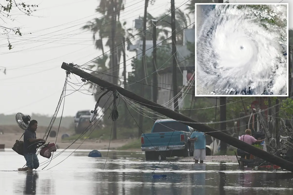

Hurricane Polo is advancing toward the United States after battering Mexico’s Pacific coast with powerful winds, torrential rain and dangerous surf. Officials are warning that the storm could unleash life-threatening flash flooding.
Polo made landfall Monday night on the western coast of Baja California Sur, just south of the small community of Las Barrancas, the National Hurricane Center reported.
The hurricane was likely a Category 2 storm when it reached shore, carrying maximum sustained winds estimated at 105 to 110 mph.
Polo weakened after moving inland early Tuesday but continued to generate hurricane-force conditions. Sustained winds were near 75 mph, with stronger gusts reported, according to the NHC.
The storm has already pounded Mexico’s Pacific shoreline with intense rainfall, destructive waves and fierce winds, flooding roads and damaging properties along its path.
Forecasters now caution that Polo’s heavy rain could lead to life-threatening flash floods and mudslides, especially in mountainous terrain.
As Polo tracks across Mexico, as much as “34 trillion gallons of rainfall headed toward the Southwest and Central U.S,” could reach the region, Crisis Response International said in a social media post.
The National Weather Service issued a bulletin for parts of west Texas and New Mexico, warning of “potentially life-threatening flash flooding” through early Wednesday.
Flooding has already affected parts of New Mexico, where the Rio Grande is rising beyond its banks.
The flood threat is expected to spread eastward, with possible flash flooding forecast from central Texas into central Oklahoma through Thursday.
“Several inches of rain are possible, with 5–6+ inches possible across parts of Texas,” one meteorologist wrote on social media. “Repeated rounds of storms could cause rainfall to pile up quickly, leading to life-threatening flash flooding.”
Although Polo’s most severe conditions may be departing Southern California, coastal areas of Los Angeles and Orange counties could continue to experience impacts from the storm.
The National Weather Service canceled an earlier high-surf and coastal-flooding warning Tuesday but said hazardous ocean conditions may persist.
“The surf from Hurricane Polo has peaked and will lower rather quickly through Wednesday, but strong rip currents may linger,” the bulletin said. “While the high tide will be lower on Wednesday compared to today, it will lower only a little and will likely still be above 7.0 feet.”
Polo may not be the final storm to affect the region’s coastline.
Officials said Tropical Storm Rachel could generate “larger” swells than Polo along Southern California between early and mid-next week.
Rachel was approaching hurricane strength Tuesday as it moved along Mexico’s southwestern coast. The storm had maximum sustained winds of 70 mph, according to the NHC.
“Large waves could produce life-threatening surf and rip current conditions along portions of the southwestern coast of Mexico during the next several days.”