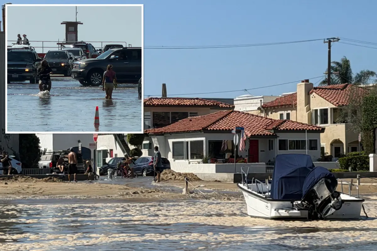

California is preparing for potentially life-threatening flooding as Tropical Storm Rachel moves toward Southern California, with torrential rain, dangerous flash floods and damaging winds possible across the region.
The National Weather Service issued a serious warning Saturday, saying the storm could cause widespread flooding, prompt evacuations and wash out roads and bridges.
“Prepare for life-threatening rainfall flooding having possible extensive impacts across San Diego County,” the weather service warned.
“Major rainfall flooding may prompt many evacuations and rescues. Rivers and tributaries may rapidly overflow their banks in multiple places.”
The agency added that floodwaters could enter numerous structures across multiple communities, leaving some uninhabitable or washing them away. Bridges and roads could also be destroyed by the deluge.
Rain bands had already reached Orange and San Diego counties by late Saturday morning, according to the latest Doppler radar imagery. Forecasters said the storm’s worst impacts could arrive Sunday.
Rachel could bring 1 to 2 inches of rain to coastal areas, valleys and deserts, while higher-end forecasts call for as much as 2 to 4 inches in the mountains.
“Confidence is high that the heaviest rain will occur over San Diego County mountains and deserts,” the NWS said.
“Areas of flash and urban flooding are probable, especially where the maximum rainfall rates occur.”
Forecasters have also identified a 40% chance of excessive rainfall producing flash floods in mountainous and desert portions of Riverside and San Bernardino counties, including Palm Springs, Joshua Tree National Park and Twentynine Palms, according to the San Francisco Chronicle.
Wind gusts ranging from 39 to 73 mph could occur in some locations, potentially snapping trees, breaking branches and knocking down fences and road signs. Strong winds may make travel hazardous on bridges and elevated roadways while causing scattered power and communications outages.
The most intense thunderstorms and rainfall are expected Sunday. The National Weather Service said desert communities could also see gusts of 20 to 45 mph.
Download The California Post App, follow us on social, and subscribe to our newsletters
Meteorologists are also watching Rachel’s unusual development, which is occurring as an emerging El Niño pattern takes shape and ocean temperatures off California remain exceptionally warm.
“It’s notable that this is an unusual event that’s being made possible by both coincidence of this early arriving low-pressure trough off the coast of California and the record warm — and I do mean record warm — ocean temperatures off the coast of California right now,” UC Agriculture and Natural Resources climate scientist Daniel Swain said during a briefing Friday, the Los Angeles Times reported.
Officials are urging residents to prepare for quickly changing conditions, review emergency supplies and closely follow weather alerts and local news as Rachel moves through the region.
People living in flood-prone areas should be prepared to evacuate if directed and avoid driving on flooded roads. Even shallow water can hide powerful currents or pavement that has been washed away.


