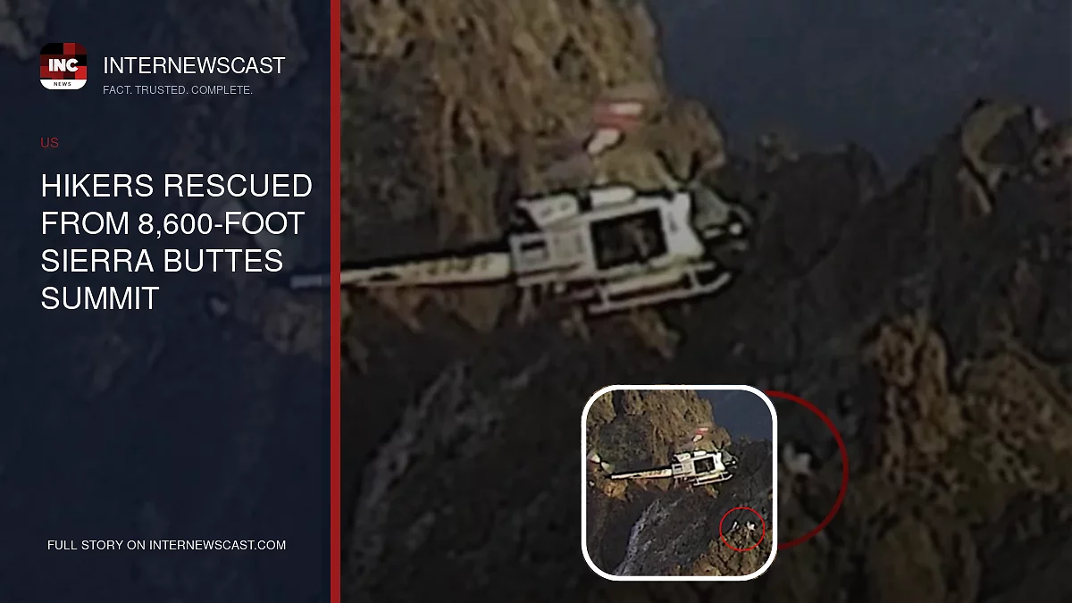

A satellite communicator helped save three hikers who became stranded on an 8,600-foot summit in California’s Tahoe National Forest.
The Sierra County Sheriff’s Office began a search-and-rescue response after a Garmin device issued an SOS alert from Sierra Buttes at about 2:30 p.m. Sunday.
Authorities requested assistance from the Nevada County Search and Rescue Mountain Rescue Team and Washoe County’s RAVEN helicopter unit.
While searching the Sierra Buttes, the helicopter crew spotted the hikers stranded along a steep, exposed ridgeline south of the lookout tower.
“Due to the difficult terrain and hazardous location, a helicopter hoist rescue was necessary. The RAVEN crew lowered a rescue team member to the stranded individuals,” the Sierra County Sheriff’s Office said in a social media post.
The rescue came after a 39-year-old Florida man spent two nights stranded on Shastina Peak last week with a serious leg injury before a large-scale operation brought him off the mountain.
MORE STORY: Historic Landmark Demolished, Replaced by Parking Lot
After reaching the 14,179-foot summit Sunday afternoon, the man followed an incorrect GPS route onto the Whitney Glacier. He later fell through a snow bridge at 12,600 feet, severely injuring his leg.
Earlier this month, two young hikers also endured a freezing, 36-hour ordeal on California’s Mount Shasta after becoming lost in dangerous terrain.
The 19-year-old man and 20-year-old woman, both from Salt Lake City, became trapped between towering cliffs. They had planned to complete only a day hike while a friend continued toward the summit.
By the time they called for help at about 10:20 p.m. on Oct. 12, the pair was too cold and exhausted to safely descend the 14,179-foot mountain.
At approximately 4 p.m. on Oct. 13, rescuers heard the hikers shouting from a gulch and located them near the bottom, roughly 1,000 feet from the McBride Springs Trail.


