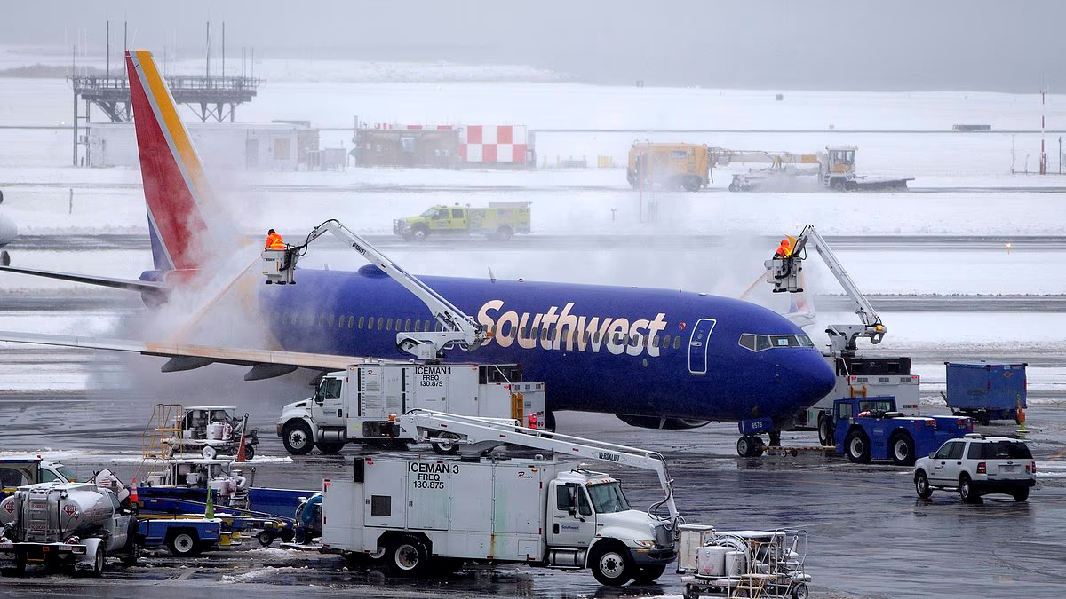

The season’s first widespread snowstorm is expected to bring a wintry mix to millions within hours, while major airports have already begun grounding flights as the system approaches.
AccuWeather meteorologists forecast a combination of rain and snow across the Northeast. Many locations could receive a coating of wet snow, while higher elevations may see between one and six inches through Saturday night.
Heavy rain and thunderstorms prompted temporary ground stops at airports in New York, New Jersey, Pennsylvania and Massachusetts on Thursday afternoon.
In New England, deteriorating conditions had already caused delays of up to 80 minutes for flights arriving at Boston Logan International Airport.
Delays of 30 to 90 minutes were also reported at Newark Liberty International, Philadelphia International, John F Kennedy International, LaGuardia and Teterboro airports.
Beginning Thursday night, the storm’s wet mix is expected to affect at least 19 states. The weather system will stretch along the East Coast from Maine to North Carolina and westward from Michigan to Tennessee.
Wet snow is forecast across northern parts of New Hampshire, Vermont, New York, Pennsylvania, Michigan and West Virginia on Thursday.
By Friday, however, the forecast is expected to shift toward sleet and snow across a broader area. Parts of Massachusetts, Connecticut, Maine, Ohio, Indiana, Maryland, Virginia, Tennessee and North Carolina could then join the snowy mix.

The first widespread snowstorm of the season in the US Northeast is expected to bring several inches of snow to multiple states

Flight delays have been issued at Boston’s Logan Airport. Forecasters believe deicing, fog, and low clouds will be an issue throughout the weekend (File Image)
The low-pressure system moving into the Northeast is expected to strengthen as another storm develops higher in the atmosphere. The combination could cause significant disruption as temperatures fall into the 20s and 30s over the weekend.
AccuWeather senior meteorologist Alex Sosnowski said in a statement: ‘Periods of rain and low clouds could cause flight delays from Thursday afternoon through Saturday morning, with timing varying by location.’
The heaviest snowfall is expected in the mountains of West Virginia and Pennsylvania, as well as northern New York and Michigan.
Forecasters said New York, Boston, Philadelphia and Washington DC should see mostly rain on Thursday and Friday, with snow largely confined to northern suburbs and higher elevations.
YOU MAY ALSO READ: Pete Hegseth Honors Soldier Who Shouted at Him During Ceremony
Snowfall totals could reach six inches in New York’s Adirondacks, Vermont’s Green Mountains and Michigan’s Upper Peninsula.
AccuWeather’s worst-case forecast said isolated areas could receive as much as 12 inches of snow.
Because the storm is likely to produce both rain and snow, Sosnowski cautioned that heavy, wet snow clinging to trees could snap branches and damage power lines in some locations.
The weather service said the system is not expected to develop into a major nor’easter marked by powerful winds and widespread heavy snow.

Flights landing at Boston Logan International Airport have been delayed due to low ceilings on November 12

AccuWeather predicts the eastern half of the US will see its coldest temperatures of the season this weekend
That is because the air mass will spend much of the week moving over land, away from the Atlantic Ocean, which typically supplies the energy that fuels winter storms.
Even without a major Atlantic boost, forecasters said the system could still take on some characteristics of a nor’easter as it moves through New England on Saturday and Sunday.
More snow showers are expected from Maine to West Virginia between Saturday and Sunday morning. The showers could create pockets of low visibility and dangerous driving conditions across the Northeast.
This first winter blast is also expected to deliver the coldest air of the 2026-2027 winter season across the eastern half of the US. Temperatures could run five to 15 degrees below normal for mid-November, with frost alerts possible as far south as parts of the South.
Although long-range National Weather Service forecasts call for an unusually warm winter in the Northeast because of El Niño, the AccuWeather team said millions of people in the East could still experience a highly active snow season.
AccuWeather meteorologist Dan Pydynowski explained: ‘Even though a potentially historic El Niño doesn’t necessarily mean a snowy winter along the East Coast, it could still set the stage for some powerful coastal storms.’
‘Even if temperatures average above historical averages and snowfall is limited overall, it only takes one major storm to bring significant snow, coastal flooding and widespread travel disruptions.’