
Share this @internewscast.com
Australian taxpayers could soon face a hefty $2 million bill as Parliament is set to reconvene for just two days next week. This comes amid doubts over the future of Anthony Albanese’s controversial hate speech legislation, which seems unlikely to pass in the Senate.
Both the House of Representatives and the Senate will gather in Canberra on January 19 and 20 to discuss major national security reforms following the recent terror attack at Bondi Beach. However, the government’s efforts to advance the bill are encountering significant hurdles.
The proposed legislation is struggling to gain traction, as it lacks the necessary backing from the Greens, the Coalition, and several independent crossbenchers. Labor finds itself in need of support from an additional ten senators to move forward.
Yet, opposition remains firm, with One Nation and several other crucial crossbench figures committed to opposing the bill, regardless of any amendments that might be made. This steadfast resistance poses a significant challenge to the government’s agenda.
Without a breakthrough, either through negotiations with the Greens or a compromise with the Coalition, this special session of Parliament risks ending in a stalemate, yielding little more than a costly impasse for taxpayers.
Without support from either the Greens or a deal with the Coalition, the special parliamentary sitting risks producing nothing but deadlock.
On Thursday, Greens senators David Shoebridge and Mehreen Faruqi said they would not be pressured into supporting legislation they see as a threat to civil liberties.
‘This is very complex legislation. And we did not create the timetable,’ Shoebridge said.

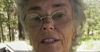
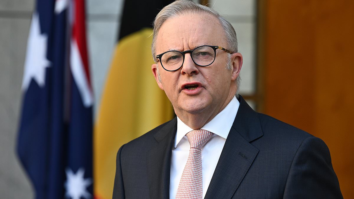
Anthony Albanese (pictured) is yet to secure the numbers to pass his hate speech bill

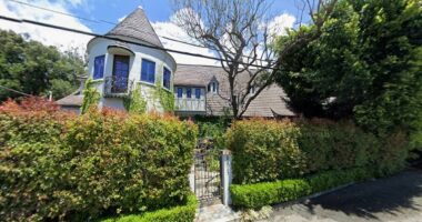
Pictured is the pedestrian bridge in Bondi used by two alleged gunmen during the shooting
‘The government created this timetable, under significant pressure from the Coalition, who tried to force incredibly complex legislation, crucial and sensitive social questions, into some rapid-fire legislative process.’
The Greens warned the bill could stifle legitimate political protest, including criticism of Israel or any other foreign government.
‘No legislation should be stopping individuals or organisations in this country challenging and questioning the actions of nation states—whether that’s the actions of Australia, or China, or Russia, or Israel,’ Shoebridge said.
‘That is a fundamental right… The fact it’s not made clear in this bill, as protected from these legal changes, is causing deep concern across the community.’
The Greens were open to amendments, but signalled the bill needed major changes.
In a breakdown of the Department of Parliamentary Services budget, it costs roughly $850,000 to operate Parliament House for a single sitting day, factoring in security, Hansard, broadcasting, IT, and building operations.
Two days alone will set back taxpayers about $1.7million before any debate or amendments begin.
Travel costs drive the total even higher: Australia’s 227 MPs and senators each receive a $310-per-night allowance, totalling rougly $140,000 for two nights.

David Shoebridge (pictured) signaled the Greens would not support the bill in its current form
Most MPs also bring at least two staffers, who are entitled to the same allowance – adding about $281,000.
That means flights, accommodation and expenses for more than 680 people.
Emergency parliamentary recalls have a history of blowing out budgets, a snap Labor caucus meeting in 2024 reportedly racked up almost $100,000 per MP.
Meanwhile, the government’s path to passing the bill has narrowed further.
Opposition Leader Sussan Ley on Thursday said the bill was ‘unsalvageable’ citing risks to free speech and religious freedom.
Prime Minister Anthony Albanese dismissed claims he was rushing the process.
‘What we have done is worked through these issues in an orderly way, in a consultative way. We have released draft legislation in good faith, asking for comments to come forward,’ he told reporters on Thursday.
Albanese pointed out that Ley was one of many Coalition figures calling for Parliament’s immediate return after the Bondi attack.

Sussan Ley (pictured) accused the government of rushing the bill through Parliament
‘We’ve had two weeks’ notice that Parliament will be brought back… one week to examine this legislation, and it is extraordinary that they are now saying it is being rushed,’ he said.
‘They were demanding, and the front pages of newspapers were demanding – that it be done prior to Christmas.’
Nationals MPs have also launched fresh attacks on the bill, particularly its gun buyback provisions, which would see the Commonwealth and state and territory governments required to split costs evenly.
Queensland, Tasmania and the Northern Territory have already said they won’t contribute.
Nationals senator Bridget McKenzie said the buyback ‘unfairly target’s law-abiding firearm owners’ and called for Labor to focus efforts on radical Islam.
Parliament will formally open Monday’s sitting with a condolence motion honouring the victims of the antisemitic attack at Bondi Beach.
The government has signalled it is open to amendments to the bill, but still does not have the numbers to guarantee passage.