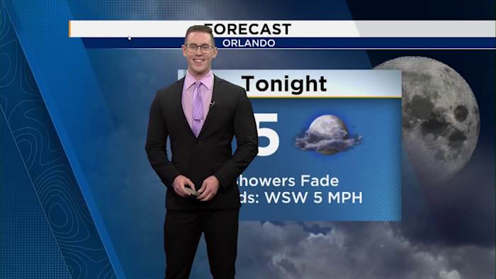

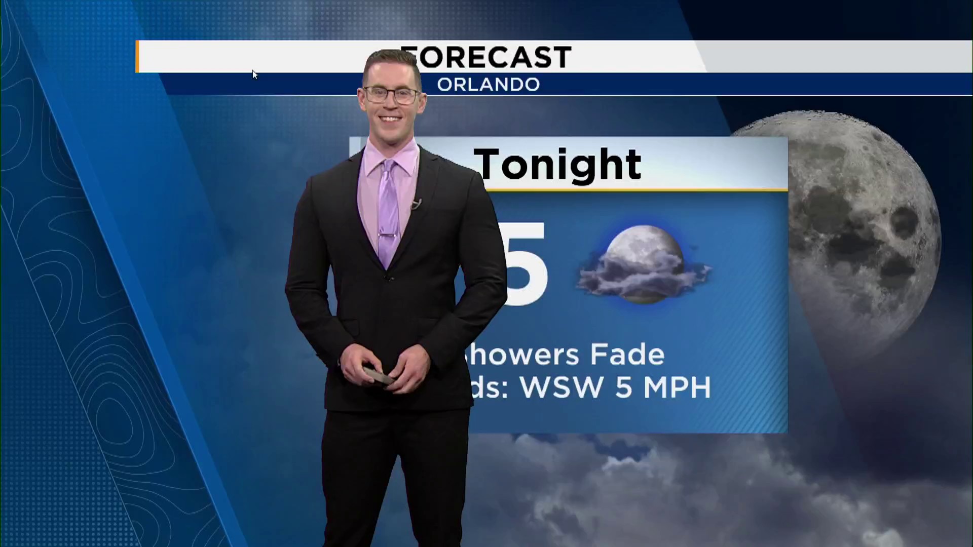
A Weather Aware day has been issued for Sunday afternoon.
ORLANDO, Fla. – Get ready for another Sunday filled with showers and thunderstorms, as tropical moisture from the Caribbean meets a descending cold front from the north. This combination is set to trigger another wave of storms throughout the day.
Your morning plans should remain unaffected, as the day will begin with cloud cover but no precipitation. Around midday, expect scattered showers and thunderstorms to develop as the front progresses into Flagler County. The most significant activity will occur from Volusia to Osceola County, particularly between I-4 and I-95. These weather conditions are expected to persist until sunset, after which the skies will clear, leading to a peaceful evening.
Monday’s weather will mimic Sunday’s pattern, with a dry start in the morning followed by scattered afternoon showers and storms across Central Florida.