
Share this @internewscast.com
ORLANDO, Fla. – Central Florida can expect increased rain probabilities and possible flooding this week, with a chance of a low-pressure system forming by the weekend.
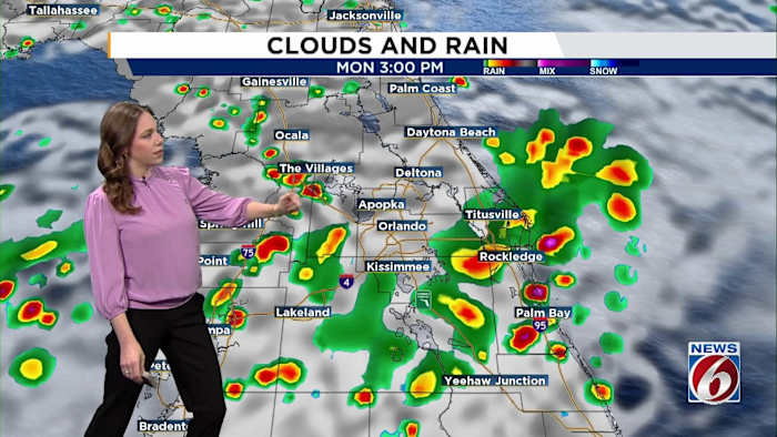
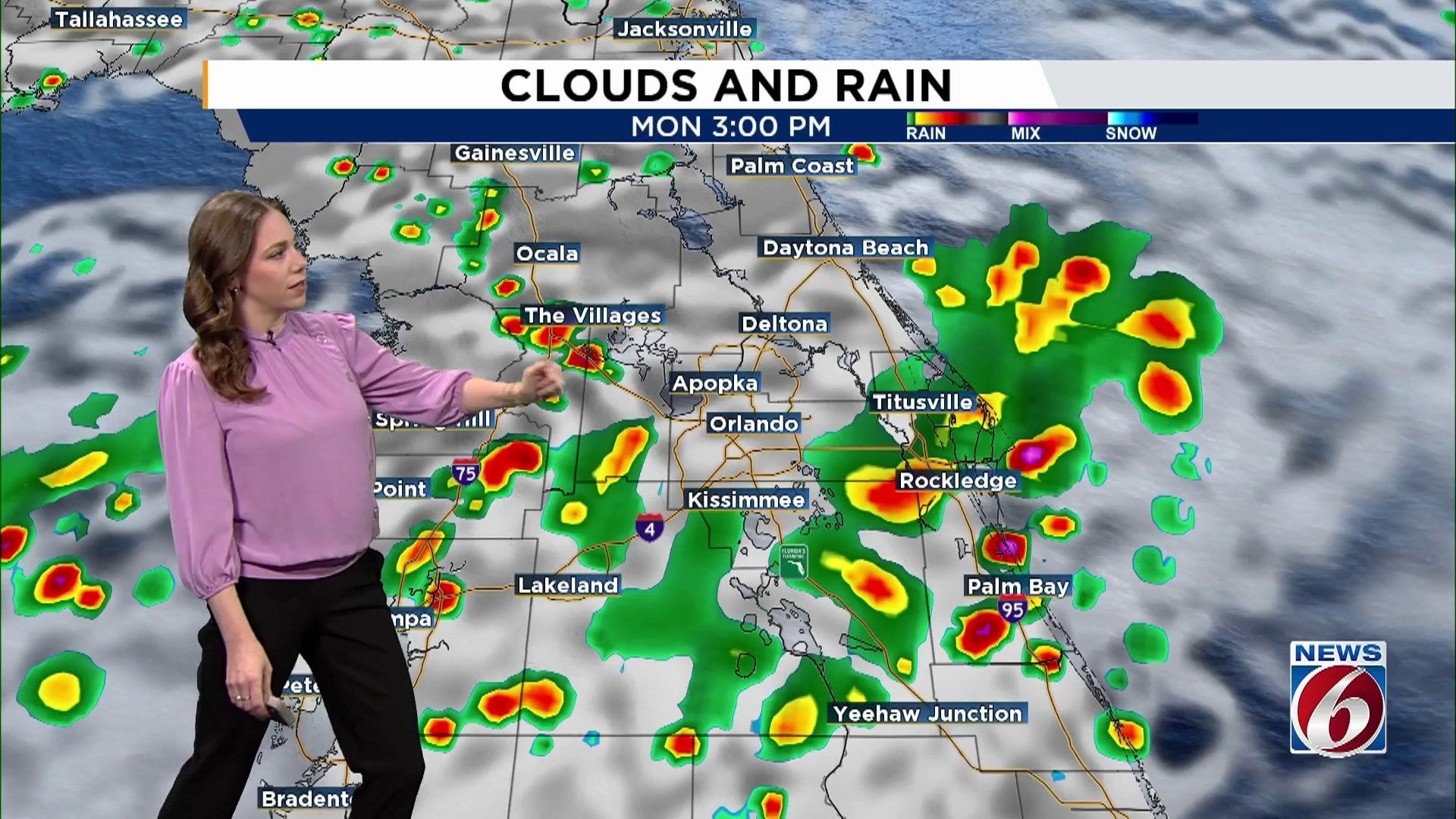
Monday & Tuesday
The current weather pattern over North America has resulted in a persistent, slow-moving system, with Florida situated at its base. This, combined with a few weak disturbances coming from the Gulf, leads to elevated moisture levels across Central Florida.
Rain and storm chances range from 60% to 80%, with showers likely occurring earlier than usual. Anticipate heavy rain at times, wind gusts reaching 40–45 mph, lightning, and minor flooding possibilities.
Along the coast, long-period swells are raising the risk of rip currents significantly. If you choose to swim, do so near a staffed lifeguard tower for safety.
Wednesday & Thursday
Some northern counties might experience less rain due to drier air temporarily reducing precipitation chances. However, expect scattered afternoon storms (50–60%) featuring frequent lightning and strong gusts.
Temperatures will stay hot and humid with highs in the upper 80s to low 90s.
Friday & Weekend
Looking ahead, there is a growing confidence in a potential shift towards even wetter conditions. Some forecast models increasingly suggest a weak low-pressure system may develop near or over Florida.
The combination of this developing system with plenty of tropical moisture, could bring widespread showers and storms, with some models already suggesting rain chances above 80% for the weekend.
While there’s still some uncertainty about exactly where the heaviest rain will fall, the general trend points to a wetter than normal Labor Day weekend.
Copyright 2025 by WKMG ClickOrlando – All rights reserved.