
SAVANNAH, Ga. () — Very warm conditions set up across the Coastal Empire and Lowcountry Tuesday afternoon.
The good supply of sunshine and relatively dry air help afternoon highs to warm into the upper 80s and lower 90s.
A LOOK AHEAD
The next several afternoons will become warmer and a little more humid as a southerly breeze begins to set up.
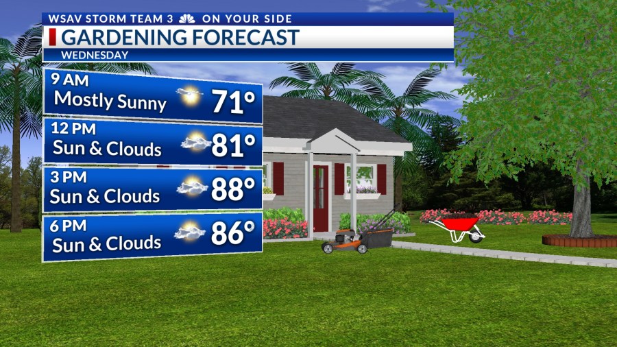
On Wednesday afternoon, expect a mix of clouds and sunshine, with temperatures climbing to the mid to upper 80s for most areas. In more inland regions, highs could reach the lower 90s.


These warmer temperatures will continue from Thursday through Saturday. However, humidity will rise, making it feel hotter than it actually is.
Heat index values will be in the lower 90s. Be sure to stay cool and hydrated if you have any outdoor plans during this time.
As Sunday approaches, a cooler trend will start to emerge, accompanied by a chance for showers. These passing showers are expected from Sunday through Monday, with afternoon temperatures dropping back to the lower to middle 80s.

Monday is the first days of astronomical fall in the northern hemisphere.
The autumnal equinox will occur at 2:19 p.m., marking the time when the sun’s direct rays are positioned over the equator, resulting in equal daylight and darkness for both the northern and southern hemispheres.

TRACKING THE TROPICS
The National Hurricane Center is observing a significant tropical wave situated over the central equatorial Atlantic Ocean for potential tropical formation. This system is identified as Invest 92-L.
This wave has a high probability (90%) of developing into a tropical depression or storm within a few days. It is projected to move northwestward, away from the equatorial regions of the Atlantic.
Many global computer models indicate that this system may become the season’s next hurricane over the next week or so.
This system is expected to be steered northward by a mid-latitude high located over the North Atlantic Ocean and pose no direct threat to the U.S.


A second tropical wave that is moving off of the west coast of Africa has low (20%) chance of becoming a tropical depression or tropical storm over the next 5-7 days.
Long-range guidance indicated that this system would follow a similar path to Invest 92-L and pose no threat to the U.S.