
Share this @internewscast.com
ORLANDO, Fla. – After days of relentless rain, many neighborhoods across Central Florida remain under a threat of flooding.
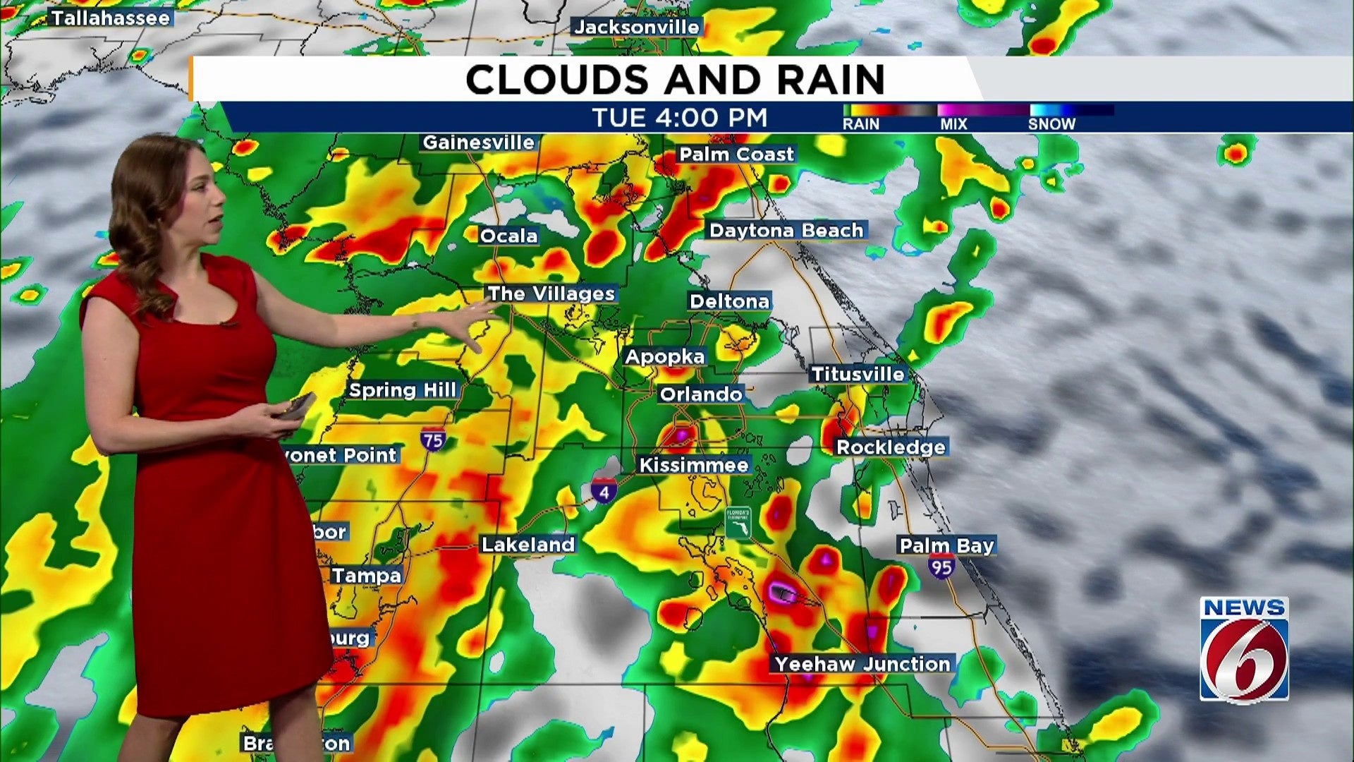
With saturated ground and more storms on the way, the risk of localized flooding stays high through Wednesday.
Daily downpours of 2–4 inches could overwhelm drainage systems and push streams and rivers close to, or even above, their banks.
A stationary front stretched across the area is drawing in deep tropical moisture, leading to widespread showers and thunderstorms, primarily in the afternoons and evenings.
This pattern of repeated downpours could cause minor flooding in areas prone to such issues. Regions already soaked from previous rainfalls are particularly at risk. Some of the storms may also bring strong winds up to 45 mph and frequent lightning strikes.
The likelihood of rain remains high, with an 80% chance of storms until Wednesday, reducing to 60% on Thursday. Storms may move slowly and unpredictably, increasing the possibility of substantial rainfall in specific areas.
Added clouds and rain-cooled air should keep highs below average, in the mid- to upper 80s.
Weekend
Looking towards the weekend, drier air is anticipated to move in from the north as the front finally shifts southward. This change will lower rain chances starting Friday and continuing into early next week, potentially breaking the current rainy spell.
The arrival of dry air is expected to linger through the weekend, resulting in lower humidity and providing the most pleasant weather the region has seen in months.
Some forecast models suggest morning temperatures could dip slightly below normal, with lows in the upper 60s to near 70 by Sunday morning.
Copyright 2025 by WKMG ClickOrlando – All rights reserved.