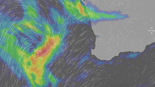

Western Australia is bracing for a powerful weather system set to hit over the weekend, with the potential to bring tornadoes to the region. Described as “unusually strong,” this system is expected to impact a vast area, stretching from Kalbarri in the north to Margaret River in the south and reaching towards the south-east coast.
A severe weather warning has been issued, underscoring the potential for destructive wind gusts, heavy rainfall, and very large waves. Meteorologist Ilana Cherny from the Bureau of Meteorology has cautioned residents about the threats posed by this system, emphasizing the possibility of localized tornadoes.
“The risk associated with these severe conditions is anticipated to start this evening, as showers and thunderstorms begin to move through the region,” Cherny explained. The initial impact will be felt in Kalbarri and the central west, with the system extending through the lower west and south-west during the early hours of the following morning.
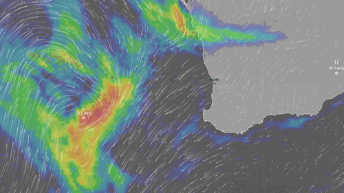
As the weekend progresses, the potential for damaging winds is expected to spread further east, continuing throughout Sunday. Residents in affected areas are advised to stay updated with the latest weather forecasts and take necessary precautions to ensure their safety.
“Starting from Kalbarri and the central west this evening, extending through the lower west and south-west through the early hours of tomorrow morning.
“The risk of damaging winds will extend further east throughout Sunday.”
Cherny said there would be a second burst of “very strong winds” with a risk of locally destructive gusts from about Lancelin to Albany.
“That risk will be for Sunday evening into Monday morning,” she said.
Severe thunderstorms could develop through the central west and extending through to the lower west.
“In addition to those winds and rain which we could see with the thunderstorms, we may also see some very localised tornadoes, which if they develop would be very fast-moving and short-lived.”


