
Share this @internewscast.com
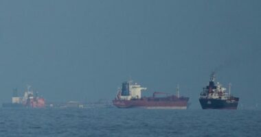
Meteorologist Jonathan How from the Bureau has predicted the formation of a tropical low over the Coral Sea.

“We expect it to stay offshore from the Queensland coast for the remainder of the week,” he explained. “Although there’s a low probability, it could potentially develop into a tropical cyclone at this point.”
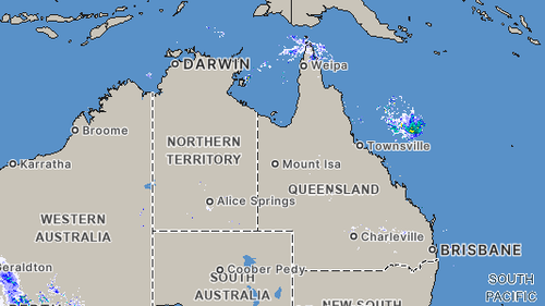
Throughout the week, Queensland’s coast is likely to experience scattered showers and storms, with the possibility of more intense storms occurring in the state’s southwest.
“We anticipate showers and storms in the far north and southwest of the state,” How noted. “These conditions are expected to become more prevalent across most inland areas by the afternoon and evening.”
He also cautioned, “There is a potential for heavy rain in the state’s far southwest due to severe thunderstorms.”
Earlier this year, North Queensland contended with a cyclone when ex-Tropical Cyclone Koji made landfall on January 11. It weakened from a Category 1 cyclone to a tropical low as it traveled over land.
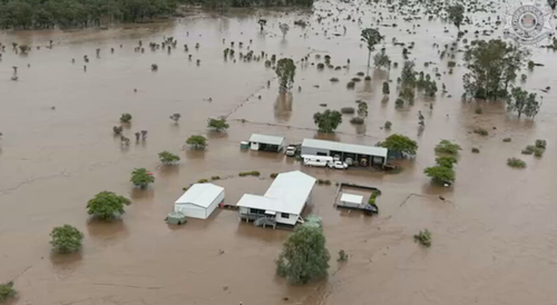
The region had already been battered by heavy rain and widespread flooding, with more than one metre of rain falling in some places within a week in early January.
The category 2 storm weakened enough to lose cyclone status before it crossed the coast at Shark Bay.
The region is forecast to receive more heavy rain and damaging winds today.