Share this @internewscast.com
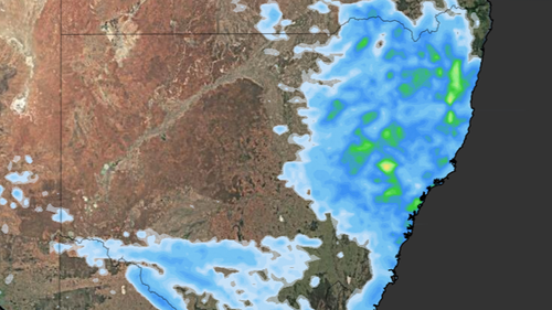
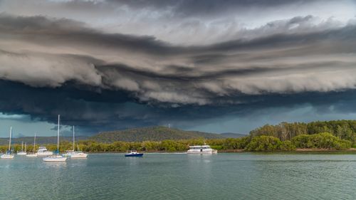
A powerful storm emerged near Leppington and Bringelly in Sydney’s southwest, threatening the area with hailstones and strong winds as it tracked eastward.
“We’ve observed significant storm development in the past few hours,” noted Angus Hynes, a meteorologist with the Bureau of Meteorology.
By 8:30 PM, the alert for Sydney, Newcastle, and Wollongong was lifted, but other areas across the state remained under threat.
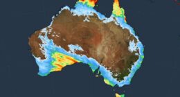
The bureau indicated that regions including the Mid North Coast, Hunter, North West Slopes and Plains, and Upper Western districts could still experience damaging winds and large hail.
The storms arrived after a scorching day, with Sydney’s airport registering a high of 34.7 degrees, and temperatures surpassing 35 degrees in the western suburbs.
Earlier, Weatherzone had predicted that unstable conditions were likely to form as a cold front and low-pressure trough moved across the state, clashing with a “significantly warmer” air mass.
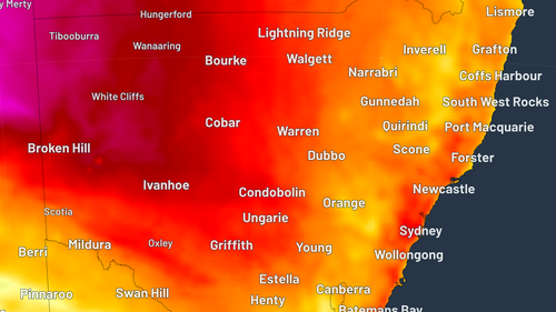
“An upper-level trough passing over southeastern Australia on Friday will also help to destabilise the atmosphere, resulting in an outbreak of thunderstorms across central and northeastern parts of the state,” the site reported.
“Isolated supercell thunderstorms are also possible on Friday, particularly over central eastern NSW.
“If these supercells do form, they may cause destructive wind gusts in excess of 125km/h and giant hail measuring more than 5 centimetres in diameter.”