
Share this @internewscast.com
CHICAGO — A few days ago, Chicago experienced its first snowfall of the year. However, temperatures have since risen, providing residents with an unexpected burst of warmth. Locals are making the most of these unusually balmy conditions while they last.
ABC7 Chicago is now streaming 24/7. Click here to watch
“I can actually take the hoodie off and I still feel good. It’s a shirt type of weather,” remarked Chris Lopez, a Chicago resident, enjoying the mild climate.
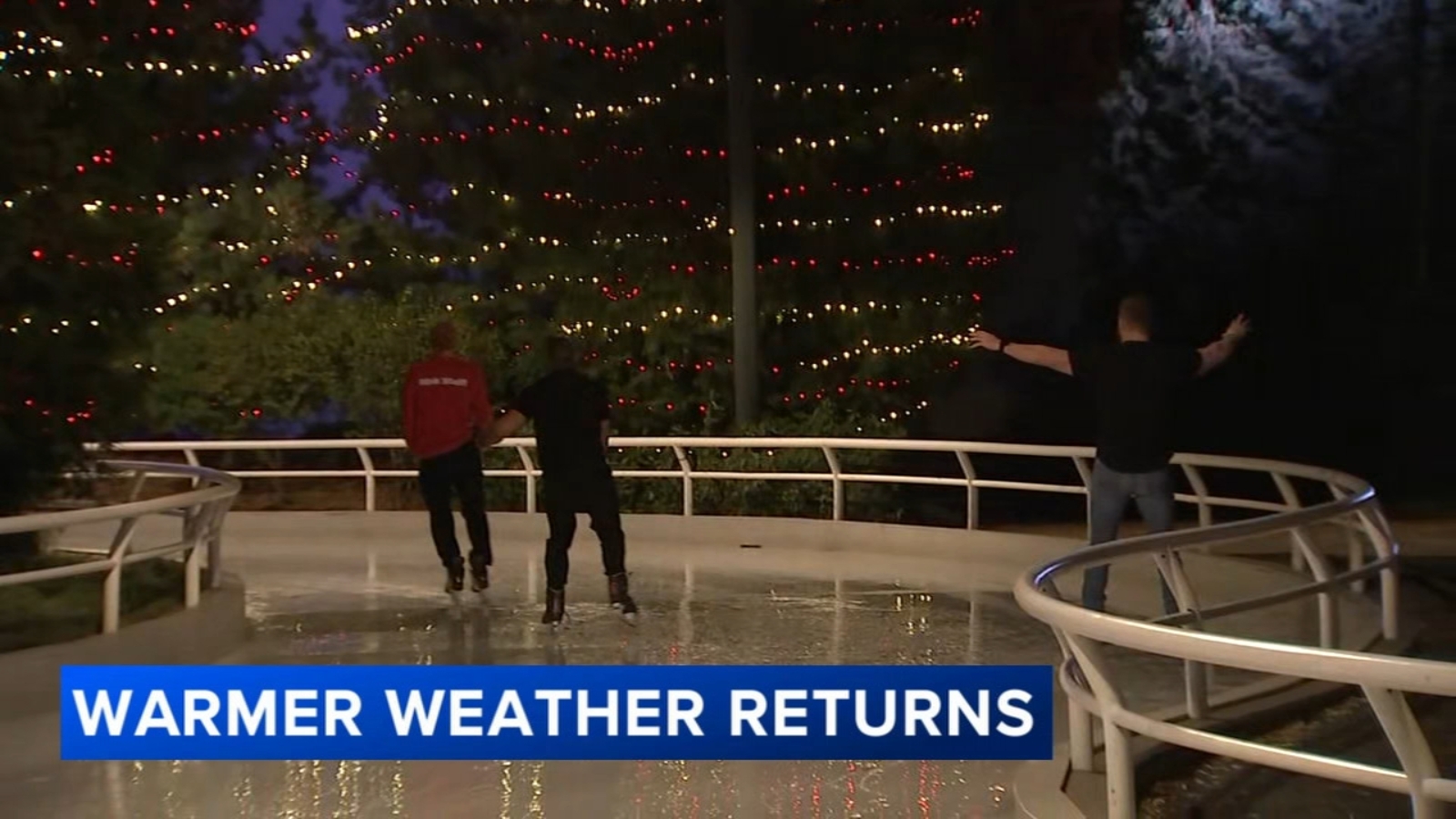
Despite the warm weather, holiday lights shone brightly at Maggie Daley Park on Friday, marking the opening of its ice-skating rink. The atmosphere, however, felt far from wintery.
“I don’t like when it’s too cold out here because don’t nobody be out here,” said Jaylen Scott, another Chicagoan. “I’m a very interactive person. I like seeing people.”
Throughout the day, temperatures hovered comfortably in the upper 50s, much to the surprise of some visitors from Los Angeles.
“I looked at the weather forecast and it said it was going to be like this, but Chicago feels good right now,” shared Kyla Haymon, a visitor from Los Angeles. “I thought it was going to feel cold. I just put this on, but I’m about to take this back off.”
FULL FORECAST | Chicago weather: AM clouds, PM sun Saturday
Unseasonable warm weather is clinching the Chicago area just days after winter arrived early, blanketing some parts of the city and suburbs with the first snowstorm of the fall season.
“It was just snowing cats and dogs,” Chicago resident Ebony Bender said. “It was like sleet everywhere. People were sliding. I seen people falling and stuff.”
But, now that the snow has melted away, thick coats have been traded in for thinner layers, at least until colder weather makes its next appearance.
The good news is the warm weather should stick around for parts of this weekend, which is perfect for ice skating sessions downtown that are now open for reservations.