
Share this @internewscast.com
Southern California has experienced three earthquakes in less than 12 hours, with two hitting about 10 minutes apart.
The US Geological Survey (USGS) recorded the first tremor at 4 am ET, with subsequent quakes occurring about eight hours later. The strongest of these was a 3.3 magnitude.
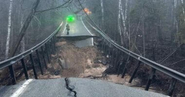
Though the weaker shakes were 2.7 in magnitude, experts observed that they were still strong enough for people to feel. Thankfully, there have been no reports of injuries or damage.
According to a USGS statement, ‘The high seismic activity in Southern California is due to tectonic shifts, with the Pacific plate moving northward relative to the North American plate.’
The statement added, ‘The primary boundary fault is the San Andreas Fault, extending 745 miles from the Salton Sea in the south to offshore Cape Mendocino to the north.’
The USGS has received shaking reports from hundreds of locals in Los Angeles, Riverside and San Bernardino areas.
‘The San Andreas Fault can generate the region’s largest magnitude earthquakes (up to about M8.2),’ said the USGS.
‘The most significant recent earthquake in this region was the M7.9 Fort Tejon quake in 1857, which impacted Los Angeles significantly,’ the USGS stated.

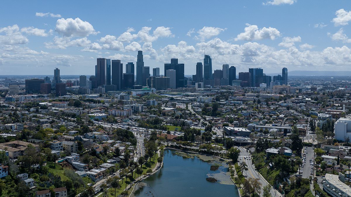
The seismic activity happened miles outside of Los Angeles. Residents in the city reported shaking as the earthquakes hit
California is the third most seismically active US state, following Hawaii and Alaska.
Data shows that so far this year, California has experienced more than 14,000 tremors. While Alaska is nearing 60,000.
However, California experiences more earthquakes that cause damage due to its higher population and extensive infrastructure.
Southern California also features pockets of volcanic and geothermal activity, such as the areas around Coso, north of Ridgecrest, and south of the Salton Sea, according to the USGS.
‘In these areas, hot fluid or magma is moving through the crust, causing local stresses and fracture movement.
‘These areas frequently experience seismic swarms, which are clusters of earthquakes that have no clear mainshock.
‘They may consist of many thousands of events and can last for hours, days, or years. Seismic swarms are also observed elsewhere in southern California, indicating localized movement of crustal fluids.’
Friday’s swarm comes a day after Northern California was rattled by multiple earthquakes.

The US Geological Survey (USGS) detected the first at 4am ET and the others hit at about eight hours later, with the largest measuring a 3.3 magnitude
The US Geological Survey (USGS) reported six tremors ranging in magnitude from 2.6 to 4.0.
The seismic activity began at 1:51am ET, when four quakes occurred within just two minutes.
These quakes, roughly 72 miles north of San Francisco, struck near the San Andreas Fault, a massive 800-mile tectonic boundary stretching from Cape Mendocino to the Salton Sea.
Scientists have said that this fault is considered overdue for a ‘Big One,’ a magnitude 7.8 earthquake or higher, making the recent activity closely monitored.
The Maacama Fault, running north of Santa Rosa up to Ukiah, experienced a 3.9 magnitude quake.
This parallel fault system adds complexity to the region’s seismic activity, with experts suggesting the events may be part of a swarm or aftershock sequence.
And the latest tremor, a 3.6 magnitude, was detected in Southern California around 9:50am.