
A developing Super El Niño is gaining strength and may rank among the most powerful climate events ever recorded, scientists have cautioned.
Fresh climate observations indicate that El Niño conditions are becoming more intense across the tropical Pacific, where sea surface temperatures are continuing to climb.
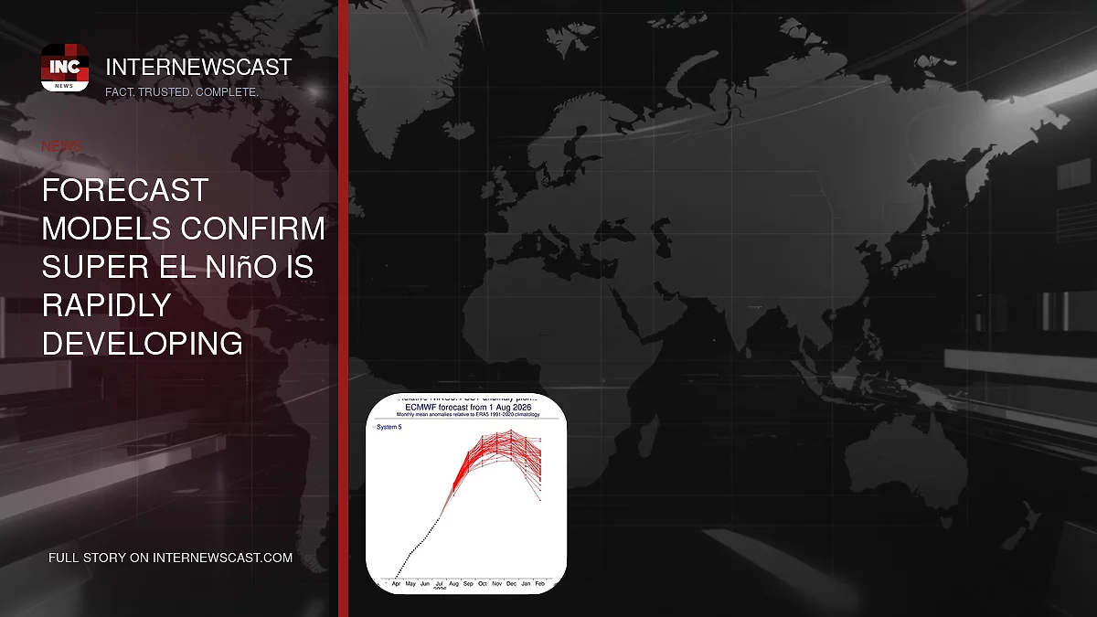
Forecast models point to a “clear and sustained increase,” with the newest readings showing ocean temperatures in the key monitoring zone running 2.7°C above normal.
Most major climate indicators now suggest the world could be facing a “very strong event,” one with the potential to trigger widespread weather impacts across multiple regions.
“The 2026 El Niño event continues to intensify across the central–eastern equatorial Pacific,” researchers from Columbia University’s Center for Climate Systems Research wrote in a blog update.
The team noted that the closely watched Niño 3.4 index has shown a consistent rise, with the latest seasonal average reaching +1.51°C for May through July 2026, while the July monthly figure climbed to +2.03°C.
According to the most recent weekly Niño 3.4 reading, centered on August 12, 2026, temperatures surged to +2.7°C.
Taken together, the scientists said, the data shows El Niño is still intensifying and appears to be moving toward a very strong phase.

New measurements show that El Niño conditions are strengthening across the tropical Pacific, with sea surface temperatures (SST) showing a steady upward trend

Models reveal a ‘clear and sustained increase’, with the latest data showing the sea surface in the equatorial Pacific is now 2.7°C above average
The experts said further evidence of El Niño’s strengthening comes from beneath the ocean’s surface.
They explained a ‘pronounced reservoir’ of ‘exceptional heat’ has developed across the equatorial Pacific.
Temperatures at depths of up to 490ft (150m) are exceeding average values by more than 8°C in some areas.
‘This substantially increased subsurface heat content provides a strong source of energy for continued surface warming and further El Niño intensification,’ they said.
‘If this evolution continues, the 2026 El Niño could emerge as one of the strongest events in the historical ENSO record.’
They added: ‘The mid–August 2026 intensity assessment provides a striking indication of the exceptional strength of the ongoing El Niño event.’
Recent analysis predicts that El Niño conditions will strengthen further during 2026 – and could even persist into early 2027.
ALSO READ: Sydney Swans Star Isaac Heeney Reportedly at Centre of Alleged Sexual Assault Investigation
Models show that the probability of El Niño persisting through until March is 100 per cent, while there’s a 94 per cent chance the climate pattern will remain in place until May.

Indicators are pointing towards a ‘very strong event’ that could have far–reaching impacts across the globe

This comes after global ocean temperatures hit a record high in a worrying sign that the Super El Niño is strengthening
According to the World Meteorological Organisation, the phenomenon can bring above–normal temperatures in ‘nearly all parts of the globe’ this summer.
The strongest heat signals are forecast across southern and western North America, Central America, the Caribbean, Europe, North Africa, and much of Asia.
In the Southern Hemisphere, warmer–than–normal conditions are also expected across many areas.
Northern South America is likely to see the strongest warming, while Southern Africa is forecast to experience widespread above–normal temperatures.
In Australia, warmer conditions are mainly expected along the western, southern, and eastern coasts.
Tropical regions around the world are also forecast to be hotter than normal, especially Equatorial Africa and parts of Southeast Asia and the Maritime Continent.
However, looking ahead, the Met Office predicts the El Niño could cause a cold and wet winter for Brits.
‘Its impacts here in the UK are typically indirect, but it can increase the likelihood of more unsettled conditions later in the year, including a higher chance of milder, wetter and windier weather during autumn and early winter,’ it explained. ‘El Niño can also be associated with colder and calmer late winter periods in the UK.’
Earlier this month, global ocean temperatures hit a record high in a further sign that Super El Niño is strengthening.
The latest data from the EU’s Copernicus Climate Change Service (C3S) shows that last month saw the hottest sea surface temperatures (SST) ever recorded for July.
Much of that record heat is due to the exceptionally high temperatures found across the Tropical Pacific, the area where an El Niño weather phenomenon begins.
C3S says that the super El Niño is already fuelling extreme ocean heating, and conditions are now forecast to strengthen further over the coming months.
Average global SST soared to 20.96°C (69.7°F), surpassing the previous record for July set in 2023.


