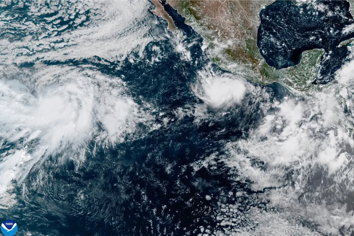

Hurricane Polo strengthened into a Category 4 storm in the eastern Pacific late Monday, bringing the threat of heavy rain to southwestern Mexico while remaining offshore.
Polo had maximum sustained winds of 130 mph and could intensify to Category 5 status on Tuesday or Wednesday, the US National Hurricane Center in Miami said. On the Saffir-Simpson scale, Category 4 hurricanes have winds of 130 to 156 mph, while Category 5 storms exceed 157 mph.
The storm was moving east-southeast at 5 mph but was expected to make a sharp turn toward the northwest and west-northwest. That projected track would keep Polo near the Mexican coast for several days without a direct landfall.
A tropical storm watch was issued for a stretch of coastline from south of Manzanillo in Colima state to Tecpan de Galeana in Guerrero state. The alert means tropical storm conditions could reach the area within 48 hours.
As of late Monday, Polo was centered about 330 miles south-southeast of Manzanillo.
Forecasters warned that heavy rain could trigger flooding and landslides in the coastal areas of Guerrero and Michoacán states through Thursday.
Lighter rainfall was also possible along coastal sections of Oaxaca, Colima and Jalisco states.
Meanwhile, Tropical Storm Odalys was located far offshore in the Pacific Ocean and was expected to strengthen into a hurricane by midweek. Its maximum sustained winds were 50 mph on Monday.

In the Atlantic, Tropical Storm Fay had weakened to 40 mph southwest of the Azores and was expected to dissipate into a remnant low by late Tuesday.
No Atlantic hurricanes have formed so far this year, marking the longest delay on record for the first hurricane of a season. The effects of this year’s El Nino have been suppressing storms before they can fully develop.


