
Share this @internewscast.com
ORLANDO, Fla. – Central Florida is set to experience an extended period of unusually warm weather, as high pressure dominates the region. However, this pleasant spell is expected to be interrupted by another cold front in the near future.
Tuesday’s Weather
The day begins with fog blanketing Central Florida, significantly reducing visibility in many areas to under half a mile. A Dense Fog Advisory is in effect until 9 a.m. for a majority of the counties. Motorists are advised to exercise caution by slowing down, maintaining extra stopping distances, and using low-beam headlights until the fog dissipates.
As the morning fog clears, residents can expect a day filled with sunshine and temperatures climbing to nearly 80 degrees, making it an unseasonably warm day for January in the Orlando area.
Looking Ahead: The Workweek
As the week progresses towards Saturday, the weather pattern remains largely unchanged. The region will continue to experience above-average temperatures with sunny skies, providing a brief respite before cooler weather makes a return.
Warm days and mild nights continue, but fog remains a recurring overnight and early-morning issue, especially through Thursday morning when some guidance suggests fog could be more widespread and dense. Winds gradually turn more southeasterly later in the week, reinforcing the warm trend.
Temperatures from Wednesday through Saturday will consistently reach the upper 70s to low-to-mid-80s, putting several daily records at risk.
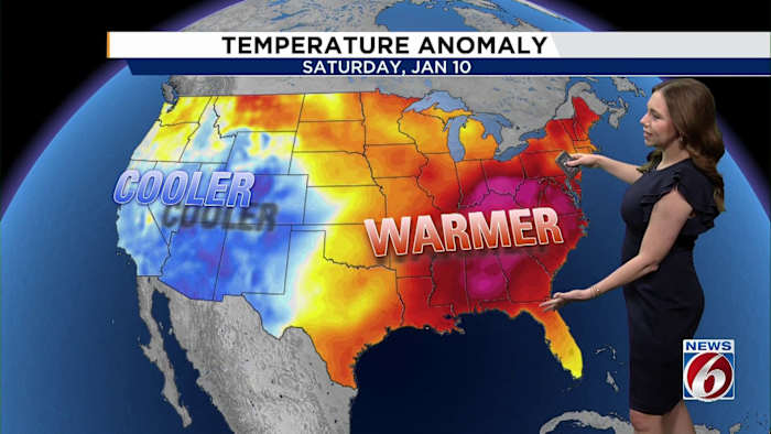
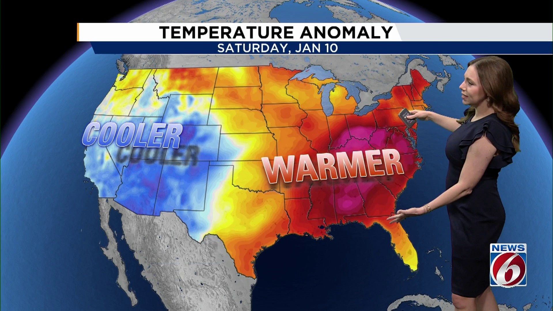
Friday and Saturday appear to be the warmest days, with Leesburg having the highest chance to tie or break a record on Friday.
Weekend Changes
Changes do appear possible by Sunday as a cold front slides through late Saturday night into Sunday.
Temperatures look to cool behind the front by early next week. Highs could dip into the 60s, with lows into the 30s and 40s.
Copyright 2026 by WKMG ClickOrlando – All rights reserved.