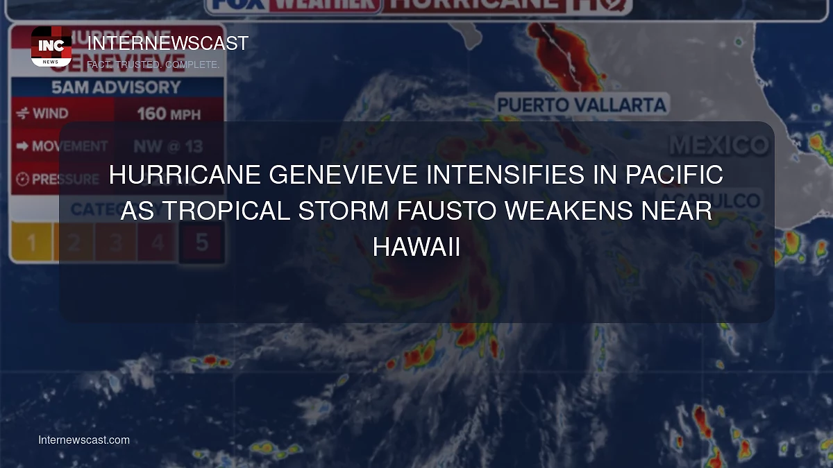

Major Hurricane Genevieve churned over the open Pacific well away from land Monday evening, while the fading Tropical Storm Fausto generated dangerous, large surf near Hawaii.
Genevieve briefly strengthened into a Category 5 hurricane early Monday, becoming the first storm to reach that intensity in the eastern Pacific in two years, according to the National Hurricane Center.
Forecasters said the powerful hurricane was expected to remain far offshore, moving on a track roughly parallel to Mexico’s coastline.
The Miami-based hurricane center reported that Genevieve was packing maximum sustained winds of 145 mph.
As of Monday evening, the storm’s center was about 505 miles southwest of the southern tip of Mexico’s Baja California peninsula and moving northwest at 12 mph.
No coastal watches or warnings had been issued, though forecasters warned that swells generated by Genevieve were reaching portions of Mexico’s southwestern coast and the Baja California peninsula, likely producing “life-threatening surf and rip current conditions.”
Genevieve was forecast to vary in strength in the near term before beginning to weaken later in the week.
Farther northwest over the Pacific, Hurricane Fausto lost strength and was downgraded to a tropical storm Monday evening as it continued moving generally toward the Hawaiian Islands.

Forecasters said Fausto is expected to pass north of Hawaii, but residents should still monitor the progress of the storm for impacts
Large surf and strong currents were increasing on east-facing shores along Hawaii’s islands, the hurricane center said.
Fausto had maximum sustained winds of 70 mph.
It was centered about 415 miles east-northeast of Hilo, Hawaii, and traveling west-northwest at 16 mph.