Share this @internewscast.com
CHICAGO (WLS) — ABC7’s team of meteorologists is closely monitoring the upcoming lake-effect snow expected to affect parts of the Friday morning and afternoon commutes.
ABC7 Chicago is now streaming 24/7. Click here to watch
Meteorologist Tracy Butler indicated that this weather system will produce scattered snowfall across the region on Friday.
The snow is anticipated to begin forming over Lake Michigan starting at 5 a.m.
By 9 a.m., winds from the north-northeast are projected to drive the snow system across the Chicago area.
Snowfall accumulations are expected to be between 2 and 6 inches, with higher totals likely in areas closer to Lake Michigan.
As the day progresses, the snow band is expected to move into northwest Indiana.
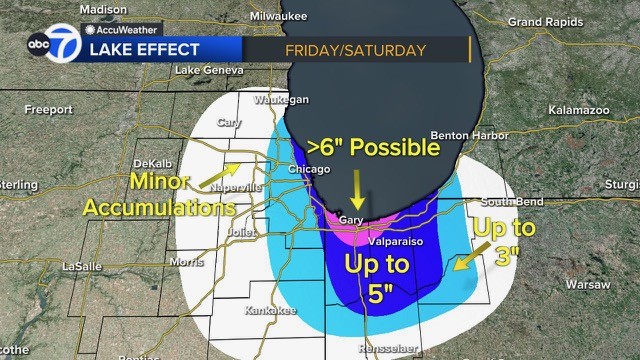
A Winter Weather Advisory will take effect for Cook, DuPage, Lake counties starting Friday at 9 a.m. until 3 p.m.
Winter Storm Watch will take effect for Porter County and Lake County (Ind.) starting Friday at 3 p.m. until Saturday 6 p.m.
Central and southern Cook County will be under a Winter Storm Watch starting 3 p.m. Friday until 6 a.m. Saturday.
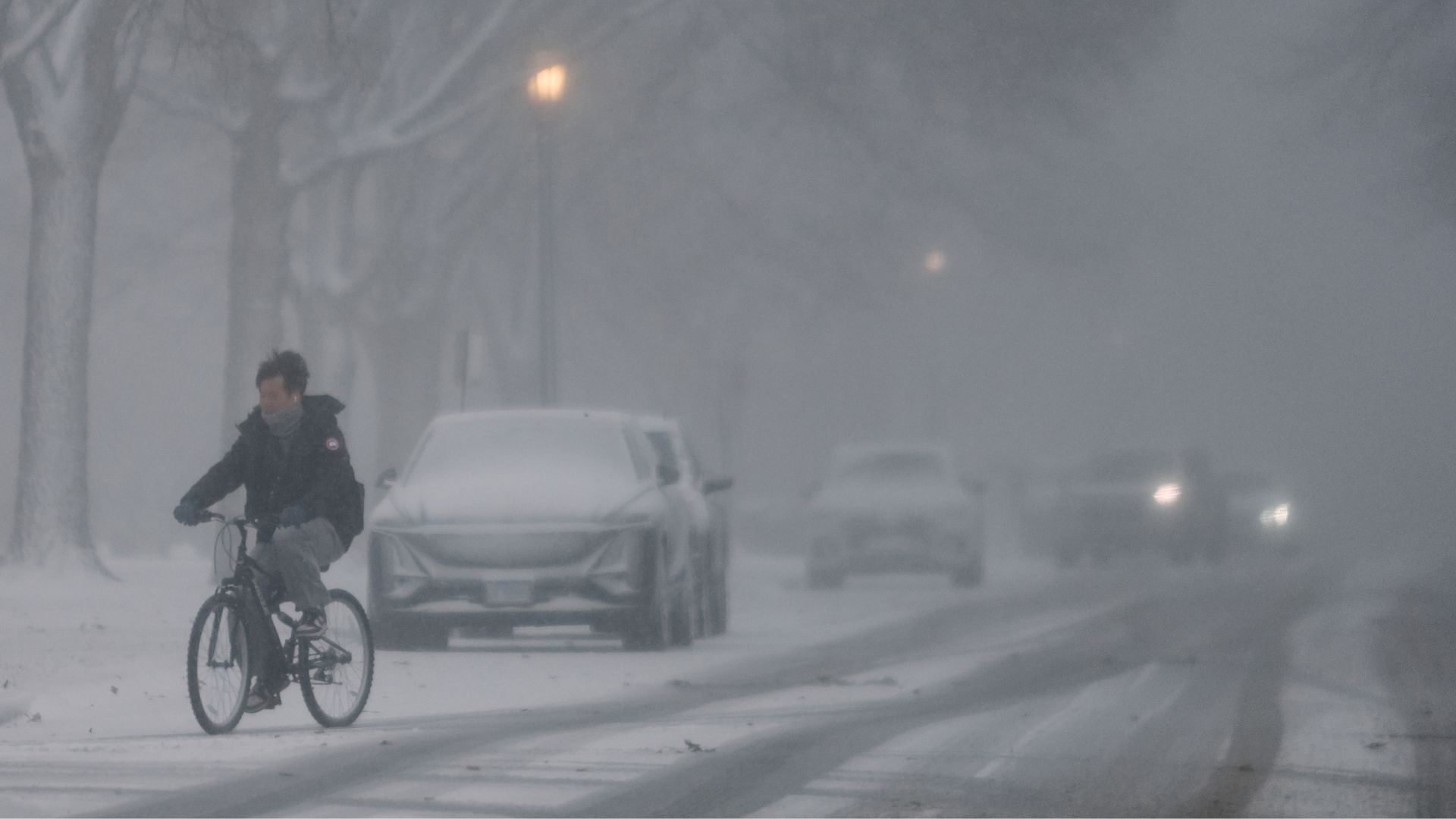
The city warned of slick travel conditions on Friday and Saturday morning.
As for weekend temperatures, Saturday kicks off a “less cold ” trend with highs in the mid-20s.
Meanwhile, a potential blizzard is headed to the Southeast this weekend, impacting the Carolinas, Georgia, Virginia and Tennessee.
Some areas could even near 1 foot of snow, especially along the North Carolina coast where the heavy snow may last longer.
READ ALSO | Potential blizzard headed to Southeast this weekend
Cook County Radar | DuPage County Radar | Will County Radar | Lake County Radar (IL) | Kane County Radar | Northwest Indiana Radar
Copyright © 2026 WLS-TV. All Rights Reserved.