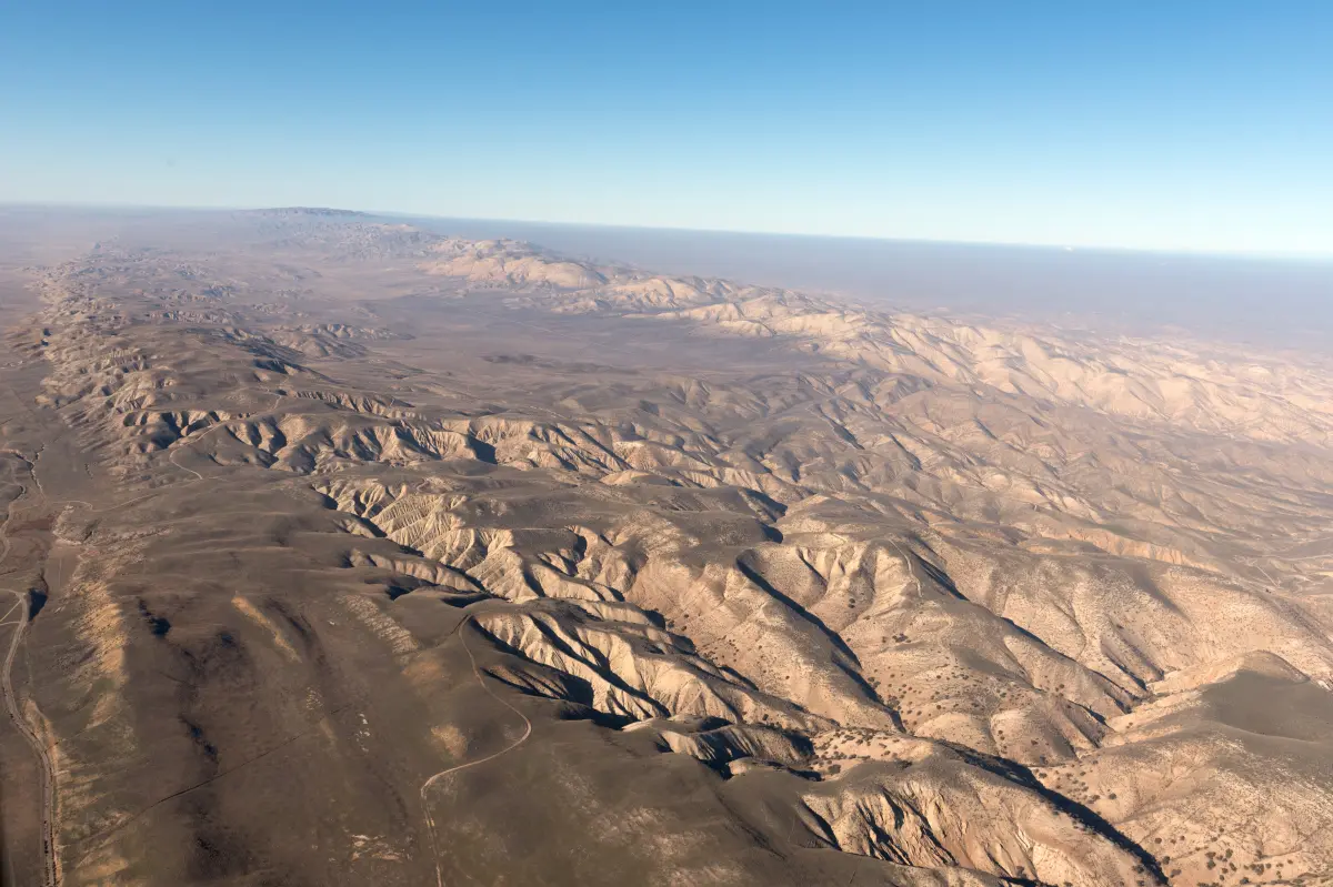

Three minor earthquakes shook different parts of California overnight near the San Andreas Fault.
The temblors measured in the mid-2 magnitude range and were recorded across Northern and Southern California on Sunday.
A magnitude 2.7 earthquake struck near Petrolia at about 4:31 a.m., followed by a magnitude 2.6 quake near Santa Barbara at approximately 4:39 a.m., according to the US Geological Survey’s Latest Earthquakes interactive map.
Westley was also shaken by a magnitude 2.5 earthquake late Saturday night.
On the interactive map, red lines mark major tectonic plate boundaries around the world. The line running through California follows the San Andreas Fault.
In August, researchers at San Jose State University reported evidence that the San Andreas Fault has been slipping more quickly and consistently than previously thought.
The discovery followed research at Sanborn County Park, where scientists studied the landscape for signs left by ancient earthquakes.
The researchers determined that movement along the fault may have remained steady for nearly 10,000 years, rather than gradually slowing.
The most recent major earthquakes along the San Andreas Fault occurred at Loma Prieta in 1989 and near San Francisco in 1906.
A separate study published in June found that earthquake stress had reached its highest level in at least 1,000 years along three sections of the San Andreas and San Jacinto faults.
“We have been lucky in California not to experience a large urban earthquake since 1994 on Northridge,” Ahmed Elbanna, director of the Statewide California Earthquake Center and a professor of earth sciences and engineering at the University of Southern California, told The Sacramento Bee.
Elbanna said the study’s findings were not surprising to its authors or the broader scientific community. Southern California’s crust is “critically stressed and ready to rupture in a large-sized event,” he said. “Whether that event would happen tomorrow, or in 10 years, that’s the part that we don’t know.”