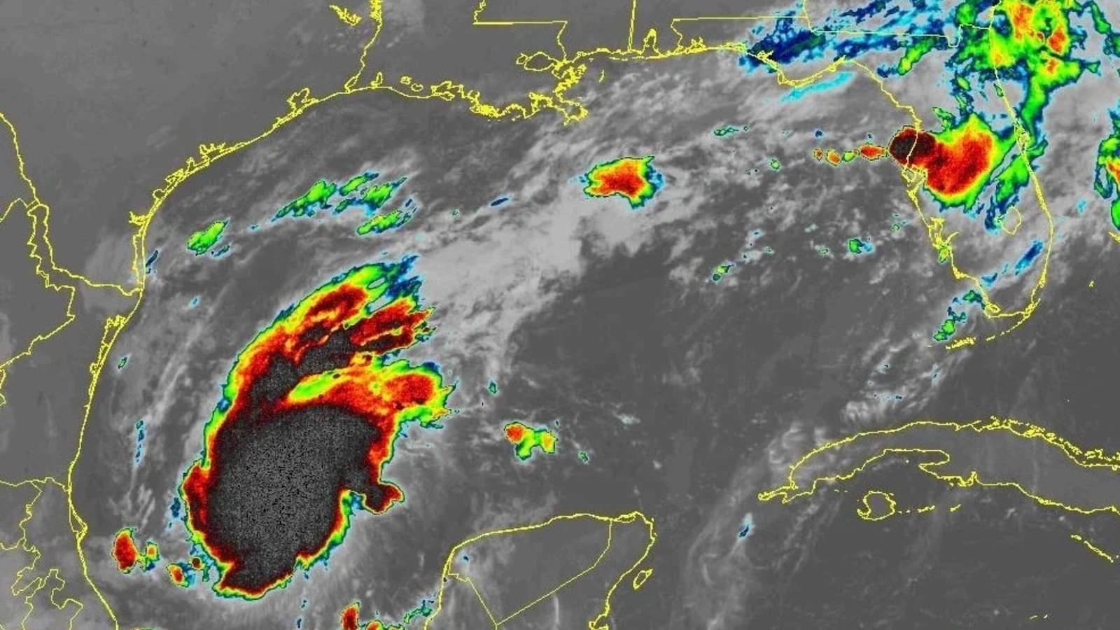
MIAMI, Florida — Tropical Storm Isaias developed early Wednesday over the warm waters east of Mexico, and forecasters said it could become the Atlantic season’s first hurricane before reaching the U.S. Gulf Coast later this week.
The storm was about 285 miles west of Progreso, Mexico, and roughly 580 miles southwest of the Mississippi River’s mouth, the National Hurricane Center in Miami reported. Isaias had maximum sustained winds of 40 mph and was moving east-northeast at 8 mph.

Forecasters had not yet determined where Isaias might come ashore along the Gulf Coast. Early projections showed the storm’s center could make landfall anywhere from eastern Louisiana to the western Florida Panhandle, prompting residents in those areas to prepare.
“There is an increasing risk of dangerous wind and storm surge impacts along portions of the northern Gulf Coast,” the hurricane center said. It urged residents from Louisiana through the Florida Panhandle to closely follow updated forecasts and make sure their hurricane plans were ready.
FIND OUT MORE: Cornell Frat Brothers Say New Video Supports Consent in Gang Rape Case
Isaias was also expected to produce heavy rain across parts of the Gulf Coast and much of the U.S. Southeast from Friday through the weekend, forecasters said.
The storm formed during an unusually quiet Atlantic hurricane season, a lull linked to a strong El Niño that disrupts storm development over the Atlantic Ocean. Meanwhile, tropical activity in the Pacific has been above average.
Copyright © 2026 by The Associated Press. All Rights Reserved.