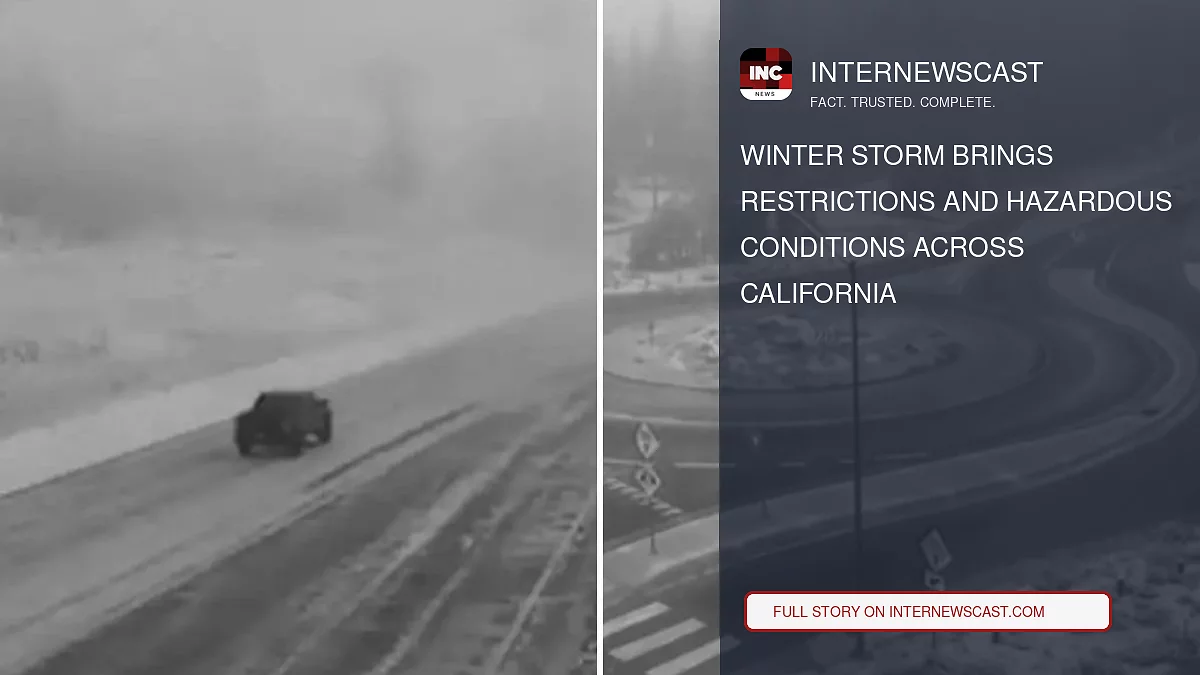

Winter weather moved across California over Halloween weekend, bringing snow to the mountains, highway closures and rain to parts of the coast.
Chain controls were still in effect on Highway 88 Sunday afternoon, covering the stretch from east of Ham’s Station to five miles west of Picketts Junction as snow accumulated and icy conditions developed, KCRA reported.
Snow showers began coating the higher elevations of the Sierra Nevada on Saturday morning. The National Weather Service office in Sacramento issued a Winter Weather Advisory from 8 a.m. Saturday until 7 a.m. Sunday for areas above 7,000 feet.
By Sunday afternoon, several high-elevation Sierra passes had closed because of the storm. Monitor Pass on State Route 89 and Sonora Pass on State Route 108 were both shut down as snow continued to accumulate, according to the Caltrans QuickMap.
Snow levels were expected to remain between 7,000 and 8,000 feet before falling overnight to between 6,000 and 7,000 feet.
The high-country weather advisory expired at 8 a.m. Sunday as precipitation began to weaken, the weather service said.
“Additional showers and mountain snow are possible through the morning, with conditions slowly drying out this afternoon,” NWS Sacramento said in its Sunday morning update. “Additional snowfall will be minor through the morning south of Highway 50, though a few flurries could reach elevations as low as 5,500 feet.”
Slush, ice and poor visibility created hazardous travel conditions across the Sierra and other high-elevation routes. Drivers were urged to carry winter equipment and consult the Caltrans QuickMap before traveling through mountain passes.
CONTINUE READING: Kimi Antonelli Becomes Youngest Formula 1 Champion in History
Farther south, an atmospheric river known as a Pineapple Express carried subtropical moisture across Southern California and the Desert Southwest during the holiday weekend.
The weather system brought rain and high surf to coastal counties. Most major metropolitan areas in Los Angeles and San Diego saw lighter rainfall, while exposed south- and west-facing mountain slopes received as much as 3 inches, according to NWS San Diego.
The NWS San Diego office issued a Flood Advisory for coastal Orange County, stretching from Huntington Beach south to San Clemente. The advisory remained in effect until 11 p.m. Saturday because of concerns about minor urban flooding.
Brief periods of heavy rain contributed to storm totals accumulated over several days. Most coastal and inland basins recorded between 0.25 and 0.75 inches, NWS San Diego said Sunday afternoon.
At higher elevations, the moisture moved into subfreezing air, producing snow across the upper Sierra and Rocky Mountain peaks and making mountain passes slick for Sunday and Monday travelers.
“What’s fueling this soaking is a southward plunge of the jet stream near the West Coast,” Weather.com senior meteorologist Jonathan Erdman said.
“It was a damp end to October,” NWS Sacramento said Sunday morning. “More light rain is possible across interior Northern California Tuesday and Wednesday.”
A second Pacific storm is expected to approach Northern and Central California before Tuesday, bringing more cloud cover, lower snow levels and another round of scattered mountain snow and valley showers.


