
Share this @internewscast.com
NEW YORK — Following a U.S. military operation aimed at capturing Venezuelan President Nicolás Maduro, air travel across the Caribbean is gradually returning to normal after a weekend of disruption.
To accommodate travelers, American Airlines is increasing its capacity in the Caribbean by introducing additional flights and utilizing larger aircraft, adding about 3,000 seats. JetBlue also anticipates a return to its regular schedule shortly.
ALSO READ: Caribbean holiday travel disrupted by Maduro’s capture
Air traffic data from Flightradar24 indicated a significant reduction in activity over the eastern Caribbean during the weekend, with the skies appearing noticeably empty.
On Saturday, airlines canceled more than 1,000 flights nationwide, attributed partly to the closure of Caribbean airspace and compounded by adverse weather conditions.
Puerto Rico faced its own set of challenges during this period.
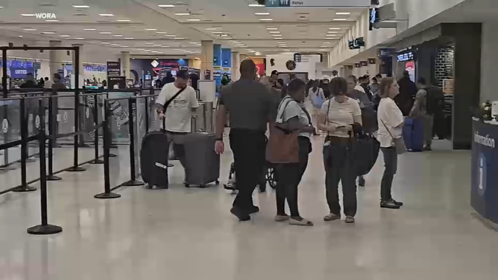
Footage from San Juan reveals that the roads leading to the Luis Munoz Marin International Airport were largely deserted, with sparse crowds at the departure drop-off zone. Inside the terminal, while there was some movement, the security checkpoints saw little to no traffic.
Many would-be passengers did not need to check their flight status, as information and status signs read “cancelled.”
On Saturday, the Luis Muñoz Marín International Airport announced on social media that a temporary restriction of airspace had been issued under the Federal Aviation Administration’s orders, including the region of Puerto Rico, following the military activity in Venezuela.
As a result, most commercial flights to and from the airport operated by American Airlines were suspended or temporarily cancelled. Foreign airlines and military aircraft were not included in this restriction.
Officials continue to advise passengers to check the status of their flight directly with their airline before arriving at the airport.
———-
* Get Eyewitness News Delivered
* More Manhattan news
* Send us a news tip
* Download the abc7NY app for breaking news alerts
* Follow us on YouTube
Submit a tip or story idea to Eyewitness News
Have a breaking news tip or an idea for a story we should cover? Send it to Eyewitness News using the form below. If attaching a video or photo, terms of use apply.
Copyright © 2026 WABC-TV. All Rights Reserved.