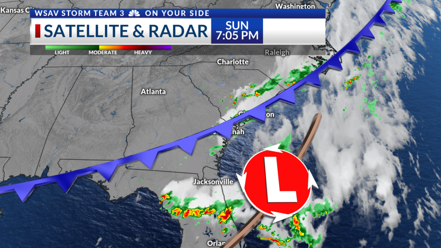

SAVANNAH, Ga. () — A cold front stalling offshore will bring a cooler and at times unsettled start to the new week.
On Sunday, a cold front swept through the Coastal Empire and Lowcountry, bringing scattered storms due to the mix of heat and humidity during the afternoon and evening hours.
Some spots picked up a quick two to three inches of rain. There were reports of downed trees in Savannah, but most storms remained fairly tame.

Expect cooler weather on Monday, starting with a mild morning followed by a breezy day. Northeasterly winds will blow at 10-15 mph, potentially gusting up to 25 mph near the coast. There’s a 30% possibility of occasional showers and isolated thunder in the afternoon.
Early this week, a developing low-pressure system will pass along the Southeast Coast. The core of this low and most of the associated thunderstorms are predicted to stay offshore.

Nonetheless, its proximity on Tuesday will increase the likelihood of intermittent showers, with rain chances reaching around 40%. These chances will lessen as Wednesday and Thursday approach.
Northeast winds will persist through midweek, causing high surf and dangerous rip currents on the beaches, as well as challenging conditions for boaters. A Small Craft Advisory will be active starting at 6 AM on Monday.
Temperatures will be below average with mornings in the 60s all week, and high temperatures in the 80s.


The tropical Atlantic remains quiet for now, with no significant areas on the horizon. The conditions in the Atlantic Basin, Caribbean, and Gulf are currently inhospitable for tropical formation.