
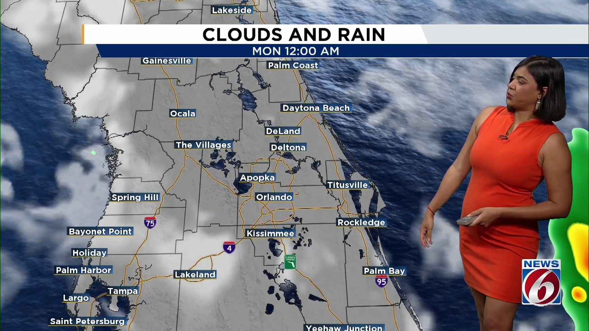
ORLANDO, Fla. – This evening, central Florida is expected to experience scattered rain and thunderstorms moving eastward. These storms may bring lightning, strong winds, and possibly small hail. As night falls, conditions are predicted to calm down, with temperatures dipping into the 60s.
By Sunday morning, dense fog patches might develop. The day will begin warm under partly cloudy skies, with temperatures rising into the mid to upper 80s. The likelihood of rain will increase throughout the day, reaching about 30–40%.
The weather pattern is influenced by a large high-pressure system over the Atlantic, which, while weakening, remains near Florida. Initially, winds will come from the southwest but are expected to shift to an oceanic direction by the afternoon. As sea breezes develop along both coasts, they are anticipated to converge around the Orlando area later in the day, potentially sparking thunderstorms.
Looking forward, there’s a chance for a few showers and storms on Monday. Following that, the forecast indicates drier and hotter conditions, with temperatures climbing into the lower 90s for the remainder of the week.
Copyright 2026 by WKMG ClickOrlando – All rights reserved.