

MEXICO CITY – According to freshly released satellite data from NASA, Mexico City is facing a dramatic decline, subsiding almost 10 inches (roughly 25 centimeters) annually, positioning it among the fastest-sinking cities globally.
Spanning an immense 3,000 square miles (approximately 7,800 square kilometers) and home to around 22 million residents, this bustling metropolis was originally established atop an ancient lake bed. Historically, many central streets functioned as canals, a feature still visible in the city’s rural outskirts.
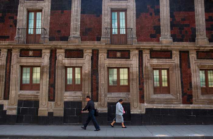
The relentless extraction of groundwater combined with extensive urbanization has significantly depleted the aquifer, resulting in the city gradually sinking over the past century. This has left numerous historical structures, such as the Metropolitan Cathedral, initiated in 1573, visibly leaning. Moreover, the diminishing aquifer exacerbates an ongoing water scarcity that is predicted to intensify.
“This subsidence severely impacts key infrastructure in Mexico City, including the subway, drainage, water supply systems, as well as residential areas and roadways,” explained Enrique Cabral, a geophysics researcher at the National Autonomous University of Mexico. “It’s an extremely serious issue.”
The rate at which Mexico City is descending is so pronounced that it is detectable from space.
In specific regions, including the main airport and the well-known Angel of Independence monument, the ground is sinking at an alarming pace of 0.78 inches (2 centimeters) per month, as detailed in the recent NASA report.
Overall that means a yearly subsidence rate of about 9.5 inches (24 centimeters). Over the course of less than a century, the drop has been more than 39 feet (12 meters), according to Cabral.
“We have one of the fastest velocities of land subsidence in the whole world,” he said.
The NASA estimates are based on measurements taken between October 2025 and January 2026 by a powerful satellite known as NISAR, which can track real-time changes on the Earth’s surface and is a joint initiative between NASA and the Indian Space Research Organization.
NISAR scientist Paul Rosen said that by capturing details of the Earth from space, the project is also “telling us something about what’s actually happening below the surface.”
“It’s basically documentation of all of these changes within a city,” Rosen said. He added: “You can see the full magnitude of the problem.”
With time the team hopes to be able to zoom in even more on specific areas and someday get measurements on a building-by-building basis.
More broadly, researchers hope to apply the technology around the world to track things like natural disasters, changes in fault lines, the effects of climate change in regions like Antarctica and more.
Rosen said it could be used to bolster alert systems, letting scientists alert governments to the need for evacuations in cases of volcano eruptions, for example.
For Mexico City the technology amounts to a big advance in studying the subsidence issue and mitigating its worst effects, according to Cabral.
For decades the government has largely ignored the problem other than stabilizing foundations under monuments like the cathedral. But following recent flare-ups of the water crisis, Cabral said, officials have begun to fund more research.
Imagery from the NISAR satellite and the data that comes with it will be key for scientists and officials as they plan on how to address the problem.
“To do long-term mitigation of the situation,” Cabral said, “the first step is to just understand.”
___
Copyright 2026 The Associated Press. All rights reserved. This material may not be published, broadcast, rewritten or redistributed without permission.