
A burst of violent weather is arriving just before conditions finally begin to ease.
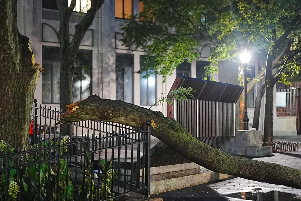
Powerful thunderstorms fueled by intense heat swept across the metro area Friday night, bringing wind gusts of up to 60 mph, knocking down trees and power lines, and leaving hundreds of thousands of customers in the dark.
The punishing heat wave is expected to push temperatures close to 100 degrees again today, but forecasters say relief should arrive tonight.
That shift to cooler air could come with a catch: more thunderstorms may develop just as fireworks displays are set to begin in New York City and nearby suburbs.
In New Jersey, Morris and Monmouth counties appeared to take some of the worst damage Friday. In Roxbury Township, police said trees fell onto homes and vehicles, in some cases trapping residents, according to Patch.
More than 230,000 customers across the Garden State remained without electricity this morning.
In southwest Queens, nearly 10,000 customers lost service after Con Edison shut off power following an underground cable malfunction linked to heavy demand, NBC reported.
READ MORE: Unexpected New Chapter: Texas AG's Mistress After Scandal Unraveled
The fast-moving storm also damaged grandstands on Governors Island, forcing the cancellation of premier access ticket-holder viewing for the Parade of Sail. The event featured 40 tall ships and 20 naval warships gathered in the East River for America’s 250th anniversary.
Today’s temps could hit 99 degrees, and an extreme heat warning remains in effect for NYC through 9 p.m., according to Weather Channel forecasters.
The good news is that the mercury is expected to drop to 74 degrees tonight. The bad news is that showers could start around 7 p.m. and last until 11 p.m. The Macy’s 4th of July Fireworks Spectacular begins at 9:25 p.m.
The cool-down continues Sunday, with a high of 84 degrees and some cloudy skies and isolated thunderstorms scattered throughout the day.
Showers are expected Monday, with a high of 75 degrees.