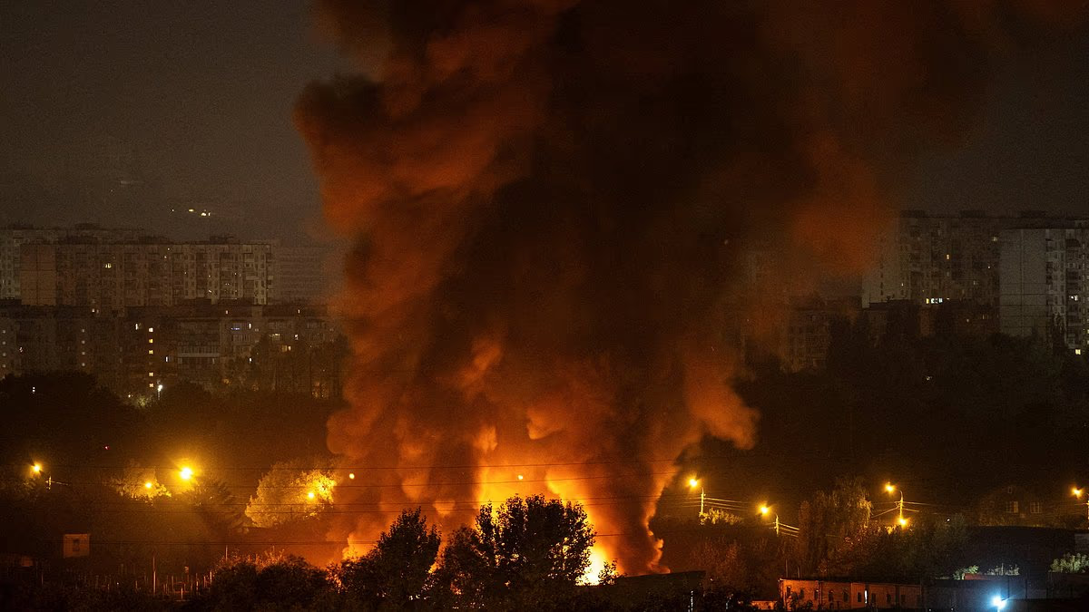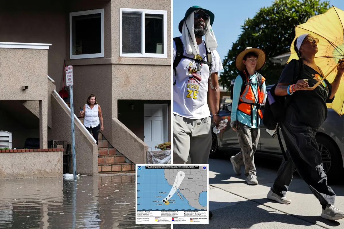

Southern California is headed for a dramatic shift from record-breaking heat to tropical storm conditions this weekend as the remnants of Hurricane Rachel move toward the region, bringing the threat of heavy rain, thunderstorms, coastal flooding and waves as high as 15 feet.
After days of triple-digit temperatures, Southern California could see its first significant rain of the season Sunday. Rachel is expected to be pulled apart by a powerful low-pressure system off the California coast, sending a surge of tropical moisture northward.
“Please beware of sudden changes in our weather from extreme heat to tropical weather,” meteorologist Jason D. Farhang warned Wednesday.
Rachel is forecast to weaken into a post-tropical system before reaching Southern California. That means the primary dangers are expected to be heavy rainfall, thunderstorms and hazardous surf rather than hurricane-force winds.
“Rain and possible isolated strong-to-severe thunderstorms are going to be developing by Sunday late afternoon into Monday night,” Farhang said.
Coastal areas could face some of the storm’s most severe impacts.
“Large waves are going to crash along the coastal zones with wave heights of 10 to 12 feet, maybe even a rogue wave up to 15 feet along San Luis Obispo, Santa Barbara, Ventura, Los Angeles and Orange counties all the way down to Ensenada, Mexico,” Farhang said.
“Coastal flooding is very likely starting from Sunday at 11 a.m. to Wednesday at 6 p.m.,” he added.
Meteorologist Ben Brissey said the likelihood of Rachel’s remnants affecting Southern California is growing, potentially bringing a much-needed soaking to the region.
Showers may arrive as early as Saturday night. Widespread rain and isolated thunderstorms are expected Sunday, with the heaviest precipitation likely south and east of Los Angeles.
IN CASE YOU MISSED IT: Jane Doe’s New Life After Alleged Cornell Rape and Campus Incidents
Much of Southern California could receive between a quarter-inch and half an inch of rain, while lower coastal slopes and mountain areas may see up to an inch. Some weather models, however, forecast totals ranging from only a tenth of an inch to as much as 2 inches.
Meteorologist Collin Gross described the storm as part of an unusually active week in the tropics. Rachel is expected to affect Southern California and Arizona as a post-tropical storm, while other systems pose threats to the Gulf Coast and Mexico.
“Not very often you see several states in the Southwest US in a National Hurricane Center forecast cone,” Gross said.
The National Weather Service is urging beachgoers to use caution, warning that moderate to significant beach erosion is likely as the storm approaches.
“There is an increased risk of ocean drowning. Rip currents can pull swimmers and surfers out to sea. Waves can wash people off beaches and rocks, and capsize small boats nearshore,” the agency said.
The unsettled weekend will mark a sharp reversal from the intense heat that has dominated Southern California in recent days.
Downtown Los Angeles recorded four straight days of triple-digit heat this week, the longest streak ever documented there. Across the region, nine daily high-temperature records were set, including in Los Angeles, Oxnard, Long Beach and Santa Ana.
Brissey said temperatures could drop 5 to 10 degrees below normal Monday as the colder low-pressure system moves inland.
Rachel’s remnants are expected to continue into Arizona and Nevada before moving toward Utah. Fairer, warmer weather is forecast to return to Southern California next week.